Santa Ana | |
|---|---|
 Saint Mary of Guadalupe Church, Santa Ana | |
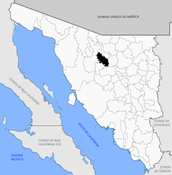 Location of the municipality in Sonora | |
| Country | |
| State | Sonora |
| Seat | Santa Ana, Sonora |
| Time zone | UTC-7 (Zona Pacífico) |
Santa Ana is a municipality in the state of Sonora in north-western Mexico. [1]
The area of the municipality is 1,620.65 km2 (625.74 sq mi) and the population was 14,638 in 2005.
The municipal seat is at Santa Ana, Sonora.
