
Santa Ana is a small city and municipal seat of Santa Ana Municipality in the Mexican state of Sonora. It is located 168 kilometres (104 mi) north of the state capital Hermosillo and 100 kilometres (62 mi) south of Nogales on the United States border. The town had a 2005 census population of 10,593 inhabitants.

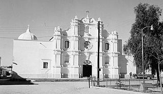
Magdalena de Kino is a city, part of the surrounding municipality of the same name, located in the Mexican state of Sonora covering approximately 560 square miles. According to the 2005 census, the city's population was 23,101, and the municipality's population was 25,500. Magdalena de Kino is in the northern section of Sonora 50 miles from the Mexico-U.S. border. To the north the municipality abuts Nogales; to the south, the municipality of Santa Ana; to the east, Ímuris and Cucurpe; and to the west, the municipalities of Tubutama and Sáric. Its main sectors include San Ignacio, San Isidro, Tacicuri, and Sásabe. The city was named after the pioneer Roman Catholic missionary and explorer, Father Eusebio Francisco Kino, who worked in the area, as well as in the present-day US state of Arizona.
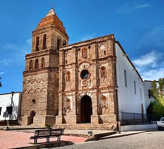
Arizpe is a small town and the municipal seat of the Arizpe Municipality in the north of the Mexican state of Sonora. It is located at 30°20'"N 110°09'"W. The area of the municipality is 2,806.78 sq.km. The population in 2005 was 2,959 of which 1,743 lived in the municipal seat as of the 2000 census.

Atil is a small town in Atil Municipality in the northwest of the Mexican state of Sonora. The total area is 400.43 km² and the population of the municipality was 734 in 2005, of whom 699 lived in the municipal seat (2000). Neighboring municipalities are Tubutama, Trincheras, Oquitoa, and Altar.
Fronteras is the seat of Fronteras Municipality in the northeastern part of the Mexican state of Sonora. Frontera translates as Border. The elevation is 1,120 meters and neighboring municipalities are Agua Prieta, Nacozari and Bacoachi. The area is 2839.62 km2, which represents 1.53% of the state total.

Granados is the municipal seat of Granados Municipality in the northeast of the Mexican state of Sonora. The municipal area is 361.27 km2, and the population was 1,228 according to the 2000 census. By 2005 the population had decreased to 938 due to emigration due to insufficient educational infrastructure and the lack of job opportunities.
Huachinera is the municipal seat of Huachinera Municipality in the northeast of the Mexican state of Sonora. The municipal area is 1,184.86 km2 (457.48 sq mi), with a population of 1,147 registered in 2000.
Moctezuma is a municipio (municipality) of the Mexican state of Sonora, located in the state's central region. It is also the name of its largest settlement and cabecera municipal.

Nacozari de García is a small mining town surrounded by the Nacozari de García Municipality in the northeast of the Mexican state of Sonora.

Plutarco Elías Calles is a municipality in the northwest of the Mexican state of Sonora. Its municipal seat and main urban center is Sonoyta, on the United States border opposite Lukeville, Arizona.

Quiriego is a small town and the county seat of the Municipality of Quiriego, located in the southeast of the Mexican state of Sonora.

Ajacuba is a town and one of the 84 municipalities of Hidalgo, in central Mexico. The municipality covers an area of 192.7 km².

Altar is a municipality in the Mexican state of Sonora in north-western Mexico. The municipality had a 2010 census population of 9,049 inhabitants, the vast majority of whom lived in the municipal seat of Altar, which had a population of 7,927 inhabitants. There are no other localities with over 1,000 inhabitants.
Bácum Municipality is a municipality of southwestern Sonora, in northwestern Mexico. The population was 21,322 in 2005.
Empalme (municipality) is a municipality in the Mexican state of Sonora in north-western Mexico. As of 2015, the municipality had a total population of 56,177. The municipal seat is the homonymous city.

Hermosillo is a municipality in Sonora in north-western Mexico. The municipal seat is the city of Hermosillo.
Navojoa Municipality is a municipality in the Mexican state of Sonora in north-western Mexico. As of 2015, the municipality had a total population of 163,650.
Oquitoa Municipality is a municipality in the Mexican state of Sonora in north-western Mexico.

Puerto Peñasco Municipality is a municipality in the Mexican state of Sonora in north-western Mexico. As of 2015, the municipality had a total population of 62,177 inhabitants. The only locality with a significant population is the municipal seat, also named Puerto Peñasco, which contains almost 99% of the municipality's population.
Tepache Municipality is a municipality in the Mexican state of Sonora in north-western Mexico.


