Grovedale | |
|---|---|
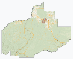 Grovedale Location in M.D. of Greenview  Grovedale Location in Alberta  Grovedale Grovedale (Canada)  Grovedale Grovedale (North America) | |
| Coordinates: 55°01′40″N118°51′34″W / 55.0278°N 118.8594°W | |
| Country | Canada |
| Province | Alberta |
| Planning region | Upper Peace |
| Municipal district | Greenview |
| Government | |
| • Type | Unincorporated |
| • Governing body | Municipal District of Greenview No. 16 Council |
| Area | |
• Total | 1.82 km2 (0.70 sq mi) |
| Population | |
• Total | 138 |
| • Density | 75.8/km2 (196/sq mi) |
| Time zone | UTC−7 (MST) |
| • Summer (DST) | UTC−6 (MDT) |
Grovedale is a hamlet in northern Alberta, Canada within the Municipal District of Greenview No. 16. [2] It is located on Highway 666 south of Grande Prairie. It is just south of the Wapiti River valley, amidst farmland and ranchland at the northern limits of the boreal forests and aspen parkland in the foothills of the Canadian Rockies.
