Africa
Madagascar
- Anjajavy Forest, western Madagascar
- Ankarana Reserve, Madagascar
- Madagascar dry deciduous forests, western Madagascar
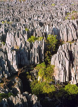
- Tsingy de Bemaraha Strict Nature Reserve, Madagascar
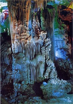
Karst topography is a geological formation shaped by the dissolution of a layer or layers of soluble bedrock, usually carbonate rock such as limestone or dolomite, but also in gypsum. [1] It has also been documented for weathering-resistant rocks, such as quartzite, given the right conditions. [2] This is an incomplete list of the major karst landscape areas of the world.


Karst poljes (Bosnian/Croatian/Serbian : krška polja)


Alaska
Arizona
Florida
Illinois
Indiana

Kentucky
Michigan
Missouri, Arkansas
Nevada
New Mexico
Oklahoma
Oregon
South Dakota
Tennessee
Texas
Utah
Virginia
West Virginia
Wisconsin, Minnesota, Iowa, Illinois