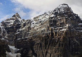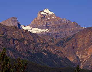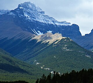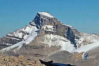
Mount Saskatchewan is a mountain located in the North Saskatchewan River valley of Banff National Park, in the Canadian Rockies of Alberta, Canada.

Mount Hector is a 3,394-metre (11,135-foot) mountain summit located in the Bow River valley of Banff National Park, in the Canadian Rockies of Alberta, Canada. The mountain was named in 1884 by George M. Dawson after James Hector, a geologist on the Palliser expedition. The mountain is located beside the Icefields Parkway, 17 km (11 mi) north of Lake Louise.

Pilot Mountain is a mountain in the Bow River valley of Banff National Park in Alberta, Canada. It is located southeast of Redearth Creek and directly west of the Trans-Canada Highway.

The Vermilion Range is a mountain range of the Canadian Rockies, in Banff National Park, Canada. The range is east of the Sawback Range and west of the Bare and Palliser Ranges.

Mount Brett is a 2,984-metre (9,790-foot) summit located in the Massive Range of Alberta, Canada It is situated in Banff National Park, 20 km (12 mi) west of Banff townsite, in the Canadian Rockies. Its nearest higher peak is Mount Ball, 12.52 km (7.78 mi) to the west.

Mount Brewster is a 2,859-metre (9,380 ft) mountain summit located in the Vermilion Range of Banff National Park, in the Canadian Rockies of Alberta, Canada. Mount Brewster was named in 1929 by Tom Wilson after John Brewster who was the father of the Brewster family of Banff.

Mount Fifi is located in the Sawback Range of Banff National Park, Alberta. It was named in 1886 after Edith Orde's dog Fifi. Mount Louis, Mount Edith, and Mount Fifi were named on the trip.

Mount Tuzo is a mountain located within the Valley of the Ten Peaks in the Canadian Rockies, along the Continental Divide, which forms the provincial boundary between British Columbia and Alberta in Western Canada. It also lies on the boundary shared by Banff National Park and Kootenay National Park.

Mount Fryatt is Alberta's 26th highest peak. In 1920, it was named after Captain Charles Fryatt, a British merchant seaman who was executed by the Germans during World War I. It lies within peaks that are between the Athabasca and Whirlpool Rivers in Jasper National Park.

Mount Habel is a 3,073-metre (10,082-foot) mountain summit located in Banff National Park on the Continental Divide along the border of Alberta and British Columbia in the Waputik Mountains, part of the Canadian Rockies. It was named in 1986 after Jean Habel. Jean Habel was a German geographer who explored the Canadian Rockies and in 1897 was the first to set foot on the Wapta Icefield which surrounds Mount Habel.

Mount Daly is located on the border of Alberta and British Columbia. It was named in 1898 by Charles E. Fay after Charles P. Daly, a geographer. Mount Niles is located two km southwest of Daly.

Mount Perren is located on the border of Alberta and British Columbia on the Continental Divide. It was named in 1968 after Walter Perren, a Swiss climbing guide and Parks Canada service warden. The peak forms part of the backdrop to Moraine Lake in the Valley of the Ten Peaks of Banff National Park.

Mount Magog is located on the border of Alberta and British Columbia on the Continental Divide in the Canadian Rockies. It also straddles the shared boundary of Banff National Park with Mount Assiniboine Provincial Park. It was named in 1930 after references in the Bible.
Mount Alexandra is a remote 3,401-metre (11,158-foot) mountain summit on the border of British Columbia and Alberta, Canada.

Mount Coleman is a 3,135-metre (10,285 ft) mountain summit located in the upper North Saskatchewan River valley in Banff National Park, in the Canadian Rockies of Alberta, Canada. Its nearest higher peak is Cirrus Mountain, 4.46 km (2.77 mi) to the north. Mount Coleman is situated along the east side the Icefields Parkway midway between Saskatchewan Crossing and Sunwapta Pass.

Mount Amery is a 3,329-metre (10,922-foot) mountain summit located in the North Saskatchewan River valley of Banff National Park, in the Canadian Rockies of Alberta, Canada. Its nearest higher peak is Mount Saskatchewan, 10.56 km (6.56 mi) to the northwest, but they are separated by the Alexandra River. Mount Amery can be seen from the Icefields Parkway north of Saskatchewan Crossing, with optimum photography conditions in the early morning light. Precipitation runoff from Mount Amery drains into tributaries of the Saskatchewan River.

Mount Erasmus is a 3,265-metre (10,712-foot) mountain summit located in the North Saskatchewan River valley of Banff National Park, in the Canadian Rockies of Alberta, Canada. Its nearest higher peak is Mount Amery, 9.41 km (5.85 mi) to the north-northwest. Mount Erasmus can be seen from the Icefields Parkway west of Saskatchewan Crossing, with optimum photography conditions in morning light.

Mount St. Bride is a prominent 3,315-metre (10,876 ft) mountain summit located in Banff National Park, in the Rocky Mountains of Alberta. It is the highest point in the Sawback Range. Its nearest higher peak is Cataract Peak, located 18.8 km (11.7 mi) to the northwest. Mount St. Bride is situated 2.0 km (1.2 mi) to the south of Mount Douglas, near the headwaters of the Red Deer River.

Eagle Mountain is a 2,836-metre (9,304-foot) mountain summit located immediately northeast of the Banff Sunshine ski resort in Banff National Park of Alberta, Canada. The mountain's toponym was officially adopted in 1958 by the Geographical Names Board of Canada. The nearest higher neighbor is Mount Howard Douglas, 1.51 km (0.94 mi) to the south-southeast.

Silverhorn Mountain is a 2,911-metre (9,551-foot) mountain summit located in the Mistaya River valley of Banff National Park, in the Canadian Rockies of Alberta, Canada. Silverhorn Mountain is situated 3.9 kilometres southeast of Mount Weed, and 3.1 km northwest of Observation Peak. Silverhorn stands directly east across the Mistaya River valley from Mount Patterson, and both are prominent features seen from the Icefields Parkway.


