New Ellenton, South Carolina | |
|---|---|
 Seal | |
| Motto: We didn't move away. We just moved. | |
 New Ellenton  New Ellenton | |
| Coordinates: 33°25′17″N81°40′51″W / 33.42139°N 81.68083°W | |
| Country | |
| State | |
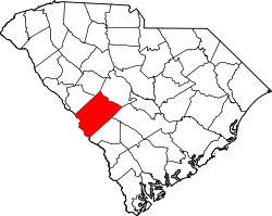
| County | Aiken |
| Incorporated | April 26, 1952 |
| Government | |
| • Administrator | Lynn S. McEwen |
| • Mayor | Kimberly Williams |
| Area | |
• Total | 4.44 sq mi (11.51 km2) |
| • Land | 4.44 sq mi (11.50 km2) |
| • Water | 0.0039 sq mi (0.01 km2) |
| Elevation | 410 ft (125 m) |
| Population | |
• Total | 2,210 |
| • Density | 497.7/sq mi (192.17/km2) |
| Time zone | UTC-5 (Eastern (EST)) |
| • Summer (DST) | UTC-4 (EDT) |
| ZIP code | 29809 |
| Area codes | 803, 839 |
| FIPS code | 45-49705 [3] |
| GNIS feature ID | 1231587 [4] |
| Website | cityofnewellenton |
New Ellenton is a city in Aiken County, South Carolina, United States. The population was 2,210 at the 2020 census. [5] It is part of the Augusta, Georgia metropolitan area.