 location in Laos | |
| Alternative name | Horse Saddle Cave |
|---|---|
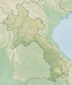
| Location | Luang Prabang Province |
| Region | northern Laos |
| Coordinates | 19°53′0.2″N102°8′4.8″E / 19.883389°N 102.134667°E |
| Type | Cave |
| Part of | Pa Hang Mountain |
| Length | 40 m (130 ft) |
| Width | 30 m (98 ft) |
| History | |
| Material | limestone, karst |
| Site notes | |
| Excavation dates | 2010 |
| Archaeologists | Joyce White, Helen Lewis, Middle Mekong Archaeological Project, Department of Heritage of Laos |
Tham An Mah, (Horse Saddle Cave) is an archaeological site located in the Luang Prabang Province of Laos. The site was initially excavated in 2010 by a joint team of the Middle Mekong Archaeological Project Archived 2020-02-13 at the Wayback Machine and the Department of Heritage of Laos. Perhaps most important is the site's status as one of the stone jar burial sites from iron age Laos, the most famous of which is the Plain of Jars. Test excavations in 2010 included two trenches. Finds from trench B included a circular stone disk, possibly made of limestone or a similar material. The initial reports listed the possibility that the disk represented a jar covering or grave marker similar to those found on the Plain of Jars. The B trench also included the remains of four pots, one of which was directly under the discovered disk and accompanied by loose remains. The single datable piece of material that has thus far been recorded was from the lowermost portion of the excavation and gave a date of c. 13,000, which could indicate an earlier site not recorded. The site also included a Buddhist painting on the cave walls that villagers believed was from the 1950s. [1] [2]