
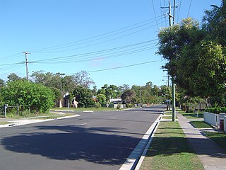
Stretton is a southern suburb in the City of Brisbane, Queensland, Australia. In the 2021 census, Stretton had a population of 4,686 people.

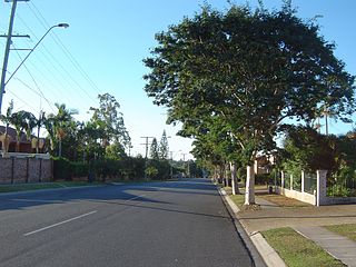
Kuraby is an outer southern suburb in the City of Brisbane, Queensland, Australia. In the 2021 census, Kuraby had a population of 8,737 people.

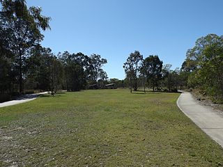
Larapinta is an outer southern industrial suburb in the City of Brisbane, Queensland, Australia.

Berrinba is a suburb in Logan City, Queensland, Australia. In the 2021 census, Berrinba had a population of 2,615 people.

Forestdale is a suburb of Logan City, Queensland, Australia. In the 2021 census, Forestdale had a population of 2,560 people.

Loganholme is a suburb in the City of Logan, Queensland, Australia. In the 2021 census, Loganholme had a population of 6,764 people.
Loganlea is a suburb in the City of Logan, Queensland, Australia. In the 2021 census, Loganlea had a population of 8,716 people.
Marsden is a suburb in the City of Logan, Queensland, Australia. In the 2021 census, Marsden had a population of 14,795 people.

Meadowbrook is a mixed-use suburb in the City of Logan, Queensland, Australia. The Logan Hospital and a TAFE college are located in the suburb. In the 2021 census, Meadowbrook had a population of 3,069 people.

Rochedale South is a northern residential suburb in the City of Logan, Queensland, Australia. In the 2021 census, Rochedale South had a population of 15,228 people.

Underwood is a suburb in the City of Logan, Queensland, Australia. In the 2021 census, Underwood had a population of 6,809 people.
Wishart is a southern suburb in the City of Brisbane, Queensland, Australia. In the 2021 census, Wishart had a population of 11,333 people.

Jamboree Heights is a south-western suburb in the City of Brisbane, Queensland, Australia. In the 2021 census, Jamboree Heights had a population of 3,141 people.

Heathwood is an outer south-western suburb in the City of Brisbane, Queensland, Australia. In the 2021 census, Heathwood had a population of 4,944 people.
Ellen Grove is an outer south-western suburb in the City of Brisbane, Queensland, Australia. In the 2021 census, Ellen Grove had a population of 3,586 people.

Carole Park is an industrial suburb in the City of Ipswich, Queensland, Australia. In the 2021 census, Carole Park had a population of 8 people.

Doolandella is an outer western suburb in the City of Brisbane, Queensland, Australia. In the 2021 census, Doolandella had a population of 7,123 people.

Parkinson is an outer southern suburb in the City of Brisbane, Queensland, Australia. In the 2021 census, Parkinson had a population of 11,148 people.

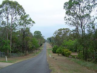
Belivah is a suburb in the City of Logan, Queensland, Australia. In the 2021 census, Belivah had a population of 515 people.

Calamvale Ward is a Brisbane City Council ward covering Calamvale, Algester, Drewvale, Heathwood, Parkinson, Stretton, Larapinta, Karawatha, and part of Forest Lake. The ward is currently represented by Emily Kim of the Labor Party.


