
Moorooka is a southern suburb in the City of Brisbane, Queensland, Australia. In the 2021 census, Moorooka had a population of 10,783 people.

Sunnybank Hills is an outer southern suburb in the City of Brisbane, Queensland, Australia. In the 2021 census, Sunnybank Hills had a population of 18,085 people.

Fairfield is a suburb of the City of Brisbane, Queensland, Australia. In the 2021 census, Fairfield had a population of 3,106 people.

Carseldine is a suburb in the City of Brisbane, Queensland, Australia. In the 2021 census, Carseldine had a population of 10,093 people.

Rocklea is a southern suburb in the City of Brisbane, Queensland, Australia. In the 2021 census, Rocklea had a population of 1,672 people.

Seven Hills is a suburb in the City of Brisbane, Queensland, Australia. In the 2021 census, Seven Hills had a population of 2,732 people.
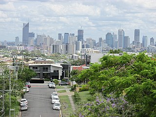
Greenslopes is a southern suburb in the City of Brisbane, Queensland, Australia. It is 6.0 kilometres (3.7 mi) by road south of the Brisbane CBD. In the 2021 census, Greenslopes had a population of 7,941 people.

Yeronga is a southern riverside suburb in the City of Brisbane, Queensland, Australia. In the 2021 census, Yeronga had a population of 7,062 people.

Hendra is a suburb of the City of Brisbane, Queensland, Australia. In the 2021 census, Hendra had a population of 4,914 people.

Wacol is a suburb in the City of Brisbane, Queensland, Australia. In the 2021 census, Wacol had a population of 4,253 people.
Oxenford is a suburb in the City of Gold Coast, Queensland, Australia. In the 2021 census, Oxenford had a population of 12,273 people.

Wilston is a northern suburb in the City of Brisbane, Queensland, Australia. In the 2021 census, Wilston had a population of 4,110 people.

Northgate is a suburb in the City of Brisbane, Queensland, Australia. In the 2021 census, Northgate had a population of 4,876 people.

Wynnum West and Lindum are outer eastern suburb in the City of Brisbane, Queensland, Australia. In the 2021 census, Wynnum West had a population of 12,790 people.

Yeerongpilly is a southern suburb in the City of Brisbane, Queensland, Australia. In the 2021 census, Yeerongpilly had a population of 2,033 people.

Nudgee is a north-eastern suburb in the City of Brisbane, Queensland, Australia. In the 2021 census, Nudgee had a population of 4,377 people.

Hemmant is an eastern riverside suburb of the City of Brisbane, Queensland, Australia. In the 2021 census, Hemmant had a population of 2,886 people.

Archerfield is a mixed-use southern suburb in the City of Brisbane, Queensland, Australia. In the 2021 census, Archerfield had a population of 533 people.

Deagon is an outer northern suburb in the City of Brisbane, Queensland, Australia. In the 2021 census, Deagon had a population of 3,773 people.

Salisbury is a southern suburb in the City of Brisbane, Queensland, Australia. In the 2021 census, Salisbury had a population of 6,790 people.


