
Eastmoreland is an early-twentieth century, tree-filled neighborhood in inner southeast Portland, Oregon, United States. The neighborhood is bounded on the north by SE Woodstock Boulevard. The western boundary is a combination of SE McLoughlin Boulevard, SE Reedway Street, and SE 26th Avenue. Johnson Creek serves as most of the neighborhood's southern boundary, which meets its eastern boundary between SE Tenino Street and SE Crystal Springs Boulevard., SE César E. Chávez Boulevard. Its northern border winds around the Reed College campus and continues on SE Steele Street until meeting its western boundary.

Southeast is the southeastern quadrant of Washington, D.C., the capital of the United States, and is located south of East Capitol Street and east of South Capitol Street. It includes the Capitol Hill and Anacostia neighborhoods, the Navy Yard, the Joint Base Anacostia-Bolling (JBAB), the U.S. Marine Barracks, the Anacostia River waterfront, Eastern Market, the remains of several Civil War-era forts, historic St. Elizabeths Hospital, RFK Stadium, Nationals Park, and the Congressional Cemetery. It also contains a landmark known as "The Big Chair," located on Martin Luther King Jr. Avenue. The quadrant is split by the Anacostia River, with the portion that is west of the river sometimes referred to as "Near Southeast". Geographically, it is the second-smallest quadrant of the city.
Northwest is the northwestern quadrant of Washington, D.C., the capital of the United States, and is located north of the National Mall and west of North Capitol Street. It is the largest of the four quadrants of the city, and it includes the central business district, the Federal Triangle, and the museums along the northern side of the National Mall, as well as many of the District's historic neighborhoods.

The Kalorama area within the Northwest Quadrant of Washington, D.C., includes the residential neighborhoods of Kalorama Triangle and Sheridan-Kalorama. The area is accessible from the Dupont Circle and Woodley Park Metro stations, as well as various bus lines. Kalorama Triangle is bordered by Connecticut Avenue, Columbia Road, Calvert Street, and Rock Creek Park. Sheridan-Kalorama is adjacent, to the southwest, between Connecticut Avenue, Rock Creek Park, Massachusetts Avenue, and Florida Avenue.

Massachusetts Avenue is a major diagonal transverse road in Washington, D.C., and the Massachusetts Avenue Historic District is a historic district that includes part of it.
The name "M Street" refers to two major roads in the United States capital of Washington, D.C. Because of the Cartesian coordinate system used to name streets in Washington, the name "M Street" can be used to refer to any east-west street located twelve blocks north or south of the dome of the United States Capitol. Thus, in all four quadrants of the city there are streets called "M Street", which are disambiguated by quadrant designations, namely, M Street NW, NE, SW, and SE.

Hillcrest is a neighborhood in the southeast quadrant of Washington, D.C., United States. Hillcrest is located on the District-Maryland line in Ward 7, east of the Anacostia River.
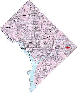
Benning Heights is a residential neighborhood located in northeast Washington, D.C. It is bounded by East Capitol Street to the south, Brooks Street NE to the north, 44th Street NE and Benning Road NE to the west, and Division Avenue NE to the east. It is served by the Benning Road Metro Rail station on the Blue Line and Silver Line of the Washington Metro.

Fairlawn is a working class and middle class residential neighborhood in southeast Washington, D.C., United States. It is bounded by Interstate 295, Pennsylvania Avenue SE, Minnesota Avenue SE, Naylor Road SE, and Good Hope Road SE.

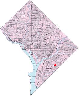
Fort Dupont is a residential neighborhood located in southeast Washington, D.C., east of the Anacostia River. It is bounded by East Capitol Street to the north, Fort Dupont Park to the south, Minnesota Avenue to the west, and Fort Chaplin Park to the east and northeast. Fort Dupont has a population of approximately 7,050.

Washington Highlands is a residential neighborhood in Southeast Washington, D.C., in the United States. It lies within Ward 8.

Dupont Park is a residential neighborhood located in southeast Washington, D.C. It is bounded by Fort Dupont Park to the north, Pennsylvania Avenue SE to the south, Branch Avenue to the west, and Fort Davis Park to the east. The neighborhood civic association uses Fairlawn Avenue and the Anacostia Freeway as the western boundary of the neighborhood.

Good Hope is a residential neighborhood in southeast Washington, D.C., near Anacostia. The neighborhood is generally middle class and is dominated by single-family detached and semi-detached homes. The year-round Fort Dupont Ice Arena skating rink and the Smithsonian Institution's Anacostia Museum are nearby. Good Hope is bounded by Fort Stanton Park to the north, Alabama Avenue SE to the south, Naylor Road SE to the west, and Branch Avenue SE to the east. The proposed Skyland Shopping Center redevelopment project is within the boundaries of the neighborhood.

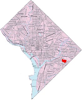
Greenway is a residential neighborhood in Southeast Washington, D.C., in the United States. The neighborhood is bounded by East Capitol Street to the north, Pennsylvania Avenue SE to the south, Interstate 295 to the west, and Minnesota Avenue to the east.

Naylor Gardens is a small neighborhood located in southeast Washington, D.C. It is bounded by Alabama Avenue SE, 30th Street SE, Erie Street SE, 32nd Street SE, Gainesville Street SE, 31st Street SE, and Naylor Road SE. The neighborhood is located in the area south and east of the Anacostia River.
Woodland is a small residential and industrial neighborhood in Southeast Washington, D.C. Woodland lies in Washington's Ward 8, among the poorest and least developed of the city's wards. Like the neighborhoods around it, Woodland is almost exclusively African American. Woodland is bounded by Ainger Place SE to the north; Alabama Avenue SE and Knox Place SE to the east; Hartford Street SE to the south; and Langston Place SE, Raynolds Place SE, and Erie Street SE to the southwest. Fort Stanton Park forms the northwest and northern border of the neighborhood.
Penn Branch is a neighborhood in Southeast Washington, D.C., east of the Anacostia River. It is bounded by Pennsylvania Avenue SE to the south; Pope Branch Park and Pope Creek to the north; Branch Avenue to the west; and Fort Davis Park to the east. ‘Penn Branch’, takes its name from its location at the intersection of two major thoroughfares, Pennsylvania and Branch Avenue.

Fort Dupont Park is a 376-acre (1.52 km2) wooded park under the management of the National Park Service located in Washington, DC. The name of the park comes from the old Civil War earthwork fort that lies within the park. The fort was one of several designed to defend Washington from a Confederate attack during the Civil War. There are few remains of the actual fortifications.

The Anacostia Historic District is a historic district in the city of Washington, D.C., comprising approximately 20 squares and about 550 buildings built between 1854 and 1930. The Anacostia Historic District was added to the National Register of Historic Places in 1978. "The architectural character of the Anacostia area is unique in Washington. Nowhere else in the District of Columbia does there exist such a collection of late-19th and early-20th century small-scale frame and brick working-class housing."

P Street refers to four different streets within the city of Washington, D.C. The streets were named by President George Washington in 1791 as part of a general street naming program, in which east–west running streets were named alphabetically and north–south running streets numerically.


