Related Research Articles

South Dakota is a U.S. state in the North Central region of the United States. It is also part of the Great Plains. South Dakota is named after the Lakota and Dakota Sioux Native American tribes, who comprise a large portion of the population with nine reservations currently in the state and have historically dominated the territory. South Dakota is the seventeenth largest by area, but the 5th least populous, and the 5th least densely populated of the 50 United States. As the southern part of the former Dakota Territory, South Dakota became a state on November 2, 1889, simultaneously with North Dakota. They are the 39th and 40th states admitted to the union; President Benjamin Harrison shuffled the statehood papers before signing them so that no one could tell which became a state first. Pierre is the state capital, and Sioux Falls, with a population of about 187,200, is South Dakota's largest city.

Lawrence County is a county in the U.S. state of South Dakota. As of the 2020 United States Census, the population was 25,768. Its county seat is Deadwood.

Brookings is a city in Brookings County, South Dakota, United States. Brookings is South Dakota's fourth largest city, with a population of 23,377 at the 2020 census. It is the county seat of Brookings County, and home to South Dakota State University, the state's largest institution of higher education. Also in Brookings are the South Dakota Art Museum, the Children's Museum of South Dakota, the annual Brookings Summer Arts Festival, and the headquarters of several manufacturing companies and agricultural operations.

Lake Andes is a city in, and the county seat of, Charles Mix County, South Dakota, United States. The population was 710 at the 2020 census.

Webster is a city in and the county seat of Day County, South Dakota, United States. The population was 1,728 at the 2020 census.

Gregory is a city in western Gregory County, South Dakota, United States. The population was 1,221 at the 2020 census.
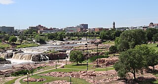
The Big Sioux River is a tributary of the Missouri River in eastern South Dakota and northwestern Iowa in the United States. It flows generally southwardly for 419 mi (674 km), and its watershed is 9,006 sq mi (23,330 km2). The United States Board on Geographic Names settled on "Big Sioux River" as the stream's name in 1931. The river was named after the Lakota people which was known by them as Tehankasandata, or Thick Wooded River.
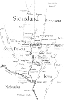
Siouxland is a vernacular region that encompasses the entire Big Sioux River drainage basin in the U.S. states of South Dakota, Minnesota, Nebraska and Iowa. The demonym for a resident of Siouxland is Siouxlander.

This is a list of properties and historic districts in the U.S. state of South Dakota that are listed on the National Register of Historic Places. The state's more than 1,300 listings are distributed across all of its 66 counties.
The following is a set–index article, providing a list of lists, for the cities, towns and villages within the jurisdictional United States. It is divided, alphabetically, according to the state, territory, or district name in which they are located.
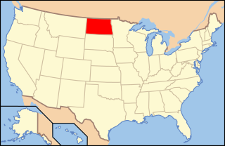
The following is an alphabetical list of articles related to the U.S. state of North Dakota.
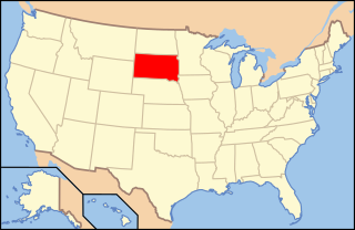
The following is an alphabetical list of articles related to the U.S. state of South Dakota.

The following outline is provided as an overview of and topical guide to South Dakota:

This is a list of the National Register of Historic Places listings in Bon Homme County, South Dakota.
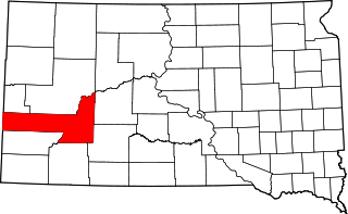
This is a list of the National Register of Historic Places listings in Pennington County, South Dakota.

The 2012 United States presidential election in South Dakota took place on November 6, 2012, as part of the 2012 United States presidential election in which all 50 states plus the District of Columbia participated. South Dakota voters chose three electors to represent them in the Electoral College via a popular vote pitting incumbent Democratic President Barack Obama and his running mate, Vice President Joe Biden, against Republican challenger and former Massachusetts Governor Mitt Romney and his running mate, Congressman Paul Ryan.
