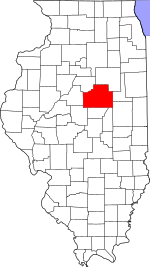
DeWitt County is a county located in the U.S. state of Illinois. As of the 2010 census, the population was 16,561. Its county seat is Clinton. The county was formed on March 1, 1839 from Macon and McLean counties. The county was named in honor of the seventh Governor of New York State, DeWitt Clinton.
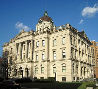
McLean County is the largest county by land area in the U.S. state of Illinois. According to the 2010 census, it had a population of 169,572. Its county seat is Bloomington.
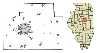
Anchor is a village in McLean County, Illinois, United States. The population was 146 at the 2010 census. It is part of the Bloomington–Normal Metropolitan Statistical Area.

Arrowsmith is a village in McLean County, Illinois, United States. The population was 294 at the 2010 census. It is part of the Bloomington–Normal Metropolitan Statistical Area.
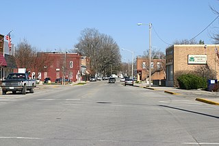
Heyworth is a village in McLean County, Illinois, United States. It was founded in 1859. As of 2010, Heyworth has a population of 2,841. It is part of the Bloomington–Normal Metropolitan Statistical Area.

Le Roy is a city in McLean County, Illinois, United States. The population was 3,560 at the 2010 census.
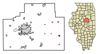
Saybrook is a village in southeast McLean County, Illinois, United States. The population was 693 at the 2010 census. It is part of the Bloomington–Normal Metropolitan Statistical Area.

Blue Ridge Township is a township in Piatt County, Illinois, USA. As of the 2010 census, its population was 1,480 and it contained 641 housing units.

Allin Township is located in McLean County, Illinois. As of the 2010 census, its population was 919 and it contained 389 housing units. Allin Township was originally named Mosquito Grove Township, but changed its name on March 4, 1867. The township bears the name of James Allin, a promoter of Bloomington, Illinois.

Arrowsmith Township is located in McLean County, Illinois. As of the 2010 census, its population was 502 and it contained 203 housing units. Arrowsmith Township is named for Ezekiel Arrowsmith (1811–1894), the first supervisor of the township. The township was originally called "Pleasant", but since there was already a Pleasant Township in Illinois, the name was changed in honor of the first superintendent. Arrowsmith Township changed its name from Pleasant Township on May 17, 1858.

Bloomington Township is located in McLean County, Illinois. As of the 2010 census, its population was 2,851 and it contained 1,127 housing units. it is adjacent to the city of Bloomington.
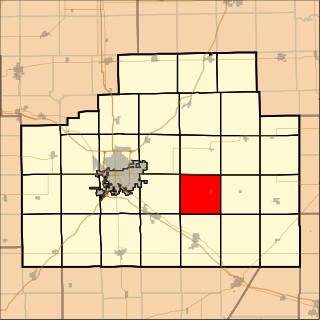
Dawson Township is located in McLean County, Illinois. As of the 2010 census, its population was 590 and it contained 253 housing units.

Downs Township is located in McLean County, Illinois. At the 2010 census, its population was 1,266 and it contained 483 housing units. Downs Township was originally named Savanna Township, but it was changed on May 17, 1858.

Empire Township is located in McLean County, Illinois. As of the 2010 census, its population was 4,093 and it contained 1,719 housing units. Empire Township changed its name from Le Roy Township on May 17, 1858.
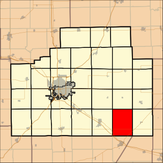
West Township is located in McLean County, Illinois. As of the 2010 census, its population was 216 and it contained 94 housing units. West Township changed its name from Kickapoo Township on May 17, 1858.

Avoca Township is located in Livingston County, Illinois. As of the 2010 census, its population was 405 and it contained 149 housing units.

Indian Grove Township is located in Livingston County, Illinois. As of the 2010 census, its population was 4,297 and it contained 1,814 housing units. Indian Grove Township changed its name from Worth Township on May 11, 1858.
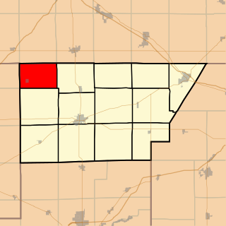
Waynesville Township is one of thirteen townships in DeWitt County, Illinois, USA. As of the 2010 census, its population was 713 and it contained 318 housing units.
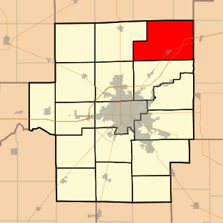
Friends Creek Township is located in Macon County, Illinois. As of the 2010 census, its population was 1,450 and it contained 601 housing units.

Jeffersonville Township is one of twelve townships in Clark County, Indiana. As of the 2010 census, its population was 59,062 and it contained 27,023 housing units.

