| Sullivan | |
|---|---|
| Former settlement | |
| Coordinates: 35°07′35″N118°24′19″W / 35.12639°N 118.40528°W Coordinates: 35°07′35″N118°24′19″W / 35.12639°N 118.40528°W | |
| Country | United States |
| State | California |
| County | Kern County |
| Elevation [1] | 4,029 ft (1,228 m) |
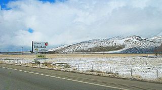
Sullivan is a former settlement in Kern County, California. [1] It was located on the Southern Pacific Railroad 2.5 miles (4 km) east of Tehachapi, [2] at an elevation of 4029 feet (1228 m). [1]

Kern County is a county in the U.S. state of California. As of the 2010 census, the population was 839,631. Its county seat is Bakersfield.

California is a state in the Pacific Region of the United States. With 39.6 million residents, California is the most populous U.S. state and the third-largest by area. The state capital is Sacramento. The Greater Los Angeles Area and the San Francisco Bay Area are the nation's second and fifth most populous urban regions, with 18.7 million and 8.8 million residents respectively. Los Angeles is California's most populous city, and the country's second most populous, after New York. California also has the nation's most populous county, Los Angeles County, and its largest county by area, San Bernardino County. The City and County of San Francisco is both the country's second-most densely populated major city after New York and the fifth-most densely populated county, behind only four of the five New York City boroughs.

Tehachapi is a city in Kern County, California, in the Tehachapi Mountains, at an elevation of 3,970 feet (1,210 m) between the San Joaquin Valley and the Mojave Desert.


