
Peregian Beach is a beach and small coastal town on the Sunshine Coast, Queensland, Australia. It is a suburb split between two local government areas with the eastern coastal in the Shire of Noosa and the western hinterland part in the Sunshine Coast Region. In the 2021 census, the suburb of Peregian Beach had a population of 4,972 people.

Kawana Waters is an urban centre on the Sunshine Coast in Queensland, Australia, between Caloundra and Maroochydore along the Coral Sea coast. It was originally the estate development name and has passed into common usage, but it is not officially a town nor a locality. The official suburbs are connected by the Nicklin Way arterial road. It is sometimes abbreviated to Kawana, which is a suburb of Rockhampton.

Kawana is an electoral district of the Legislative Assembly in the Australian state of Queensland. Based on the Sunshine Coast, the district has been held by both sides of politics over its short history.
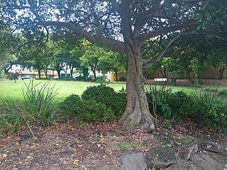
Parrearra is a suburb in the Sunshine Coast Region, Queensland, Australia. In the 2016 census, Parrearra had a population of 4,468 people.
Minyama is a suburb of Kawana Waters in the Sunshine Coast Region, Queensland, Australia. In the 2016 census, Minyama had a population of 2,542 people.

Buddina is a coastal suburb of Kawana Waters in the Sunshine Coast Region, Queensland, Australia. In the 2016 census, Buddina had a population of 3,885 people.
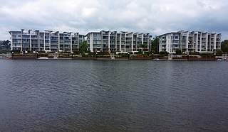
Birtinya is a suburb of Kawana Waters in the Sunshine Coast Region, Queensland, Australia. In the 2016 census Birtinya had a population of 1,933 people.

Bokarina is a coastal suburb in the Sunshine Coast Region, Queensland, Australia, located within the Kawana Waters urban centre. In the 2016 census, Bokarina had a population of 1,351 people.

Wurtulla is a coastal suburb of Kawana Waters in the Sunshine Coast Region, Queensland, Australia. In the 2016 census, Wurtulla had a population of 5,905 people.
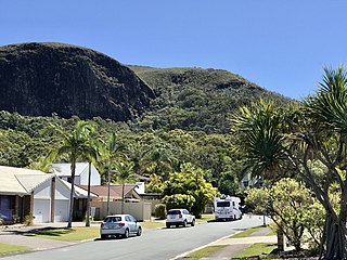
Mount Coolum is a coastal suburb in the Sunshine Coast Region, Queensland, Australia. In the 2016 census, Mount Coolum had a population of 4,265 people.

Twin Waters is a coastal suburb of Maroochydore in the Sunshine Coast Region, Queensland, Australia. In the 2016 census, Twin Waters had a population of 2,687 people.
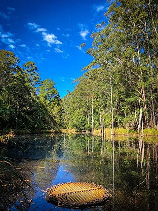
Tanawha is a rural locality in the Sunshine Coast Region, Queensland, Australia. The name Tanawha is believed to be a Māori language word referring to a legendary New Zealand monster. For statistical purposes, it is regarded as a subub of Buderim.

Yaroomba is a coastal suburb in the Sunshine Coast Region, Queensland, Australia. In the 2016 census, Yaroomba had a population of 1,623 people.
Mons is a rural residential locality in the Sunshine Coast Region, Queensland, Australia. It is part of the Buderim urban centre. In the 2016 census Mons had a population of 946 people.

Golden Beach is a coastal suburb of Caloundra in the Sunshine Coast Region, Queensland, Australia. It is located within the Caloundra urban centre directly southwest of the Caloundra CBD. In the 2021 census, Golden Beach had a population of 5,646 people.

Little Mountain is a suburb of Caloundra in the Sunshine Coast Region, Queensland, Australia. In the 2016 census, Little Mountain had a population of 10,212 people.
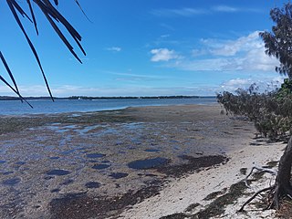
Pelican Waters is a suburb of Caloundra in the Sunshine Coast Region, Queensland, Australia. In the 2016 census, Pelican Waters had a population of 6,277 people.

Booroobin is a rural locality split between the City of Moreton Bay and the Sunshine Coast Region in Queensland, Australia. In the 2021 census, Booroobin had a population of 258 people.
Bridges is a rural locality in the Sunshine Coast Region, Queensland, Australia. In the 2016 census Bridges had a population of 276 people.


