
Peregian Beach is a beach and small coastal town on the Sunshine Coast, Queensland, Australia. It is a suburb split between two local government areas with the eastern coastal in the Shire of Noosa and the western hinterland part in the Sunshine Coast Region. In the 2021 census, the suburb of Peregian Beach had a population of 4,972 people.

Palmwoods is a rural town and locality in the Sunshine Coast Region, Queensland, Australia. In the 2021 census, the locality of Palmwoods had a population of 6,357 people.

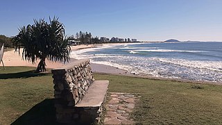
Caloundra is a coastal town in the Sunshine Coast Region, Queensland, Australia.

Alderley is a northern suburb in the City of Brisbane, Queensland, Australia. In the 2021 census, Alderley had a population of 6,748 people.
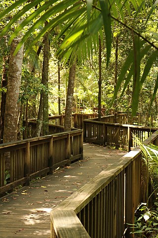
Buderim is a town in the Sunshine Coast Region, Queensland, Australia. It sits on a 180-metre (590 ft) mountain which overlooks the southern Sunshine Coast communities.

Yandina is a rural town and locality in the Sunshine Coast Region, Queensland, Australia. IIn the 2021 census, the locality of Yandina had a population of 3,073 people.

Wavell Heights is a suburb in the City of Brisbane, Queensland, Australia. In the 2021 census, Wavell Heights had a population of 10,336 people.

Landsborough is a town and a locality in the Sunshine Coast Region, Queensland, Australia. In the 2021 census, the locality of Landsborough had a population of 4,446 people.
Alexandra Headland is a coastal suburb of Maroochydore in the Sunshine Coast Region, Queensland, Australia. In the 2021 census, Alexandra Headland had a population of 4,235 people.

Bli Bli is a rural town and locality in the Sunshine Coast Region, Queensland, Australia. In the 2021 census, the locality of Bli Bli had a population of 10,138 people.

Kallangur is a suburb in the City of Moreton Bay, Queensland, Australia. In the 2021 census, Kallangur had a population of 21,761 people.

Coolum Beach is a beachside town and coastal suburb in the Sunshine Coast Region, Queensland, Australia.In the 2021 census, the suburb of Coolum Beach had a population of 9,152 people.

Wynnum West and Lindum are outer eastern suburb in the City of Brisbane, Queensland, Australia. In the 2021 census, Wynnum West had a population of 12,790 people.

Currimundi is a coastal suburb of Caloundra in the Sunshine Coast Region, Queensland, Australia. In the 2021 census, Currimundi had a population of 6,570 people.

Bokarina is a coastal suburb in the Sunshine Coast Region, Queensland, Australia, located within the Kawana Waters urban centre. In the 2021 census, Bokarina had a population of 1,935 people.
Kunda Park is an industrial suburb of Buderim in the Sunshine Coast Region, Queensland, Australia. In the 2021 census, Kunda Park had a population of 22 people.
Tanawha is a rural locality in the Sunshine Coast Region, Queensland, Australia. It is a suburb of Buderim. The name Tanawha is believed to be a Māori language word referring to a legendary New Zealand monster.
Mons is a rural residential locality in the Sunshine Coast Region, Queensland, Australia. It is part of the Buderim urban centre. In the 2021 census, Mons had a population of 1,179 people.

Caloundra is a coastal suburb and the central business district of the town of Caloundra in the Sunshine Coast Region, Queensland, Australia. In the 2021 census, the suburb of Caloundra had a population of 3,932 people.
Battery Hill is a suburb of Caloundra in the Sunshine Coast Region, Queensland, Australia. In the 2021 census, Battery Hill had a population of 2,596 people.


