
East Devon is a local government district in Devon, England. Its council is based in the town of Honiton, although Exmouth is the largest town. The district also contains the towns of Axminster, Budleigh Salterton, Cranbrook, Ottery St Mary, Seaton and Sidmouth, along with numerous villages and surrounding rural areas.

Teignbridge is a local government district in Devon, England. Its council is based in the town of Newton Abbot. The district also includes the towns of Ashburton, Buckfastleigh, Dawlish, Kingsteignton and Teignmouth, along with numerous villages and surrounding rural areas. Teignbridge contains part of the south Devon coastline, including the Dawlish Warren National Nature Reserve. Some of the inland western parts of the district lie within the Dartmoor National Park. It is named after the old Teignbridge hundred.

Sturminster Marshall is a village and civil parish in the east of Dorset in England, situated on the River Stour between Blandford Forum and Poole. The parish had a population of 1,895 at the 2001 census, increasing to 1,969 at the 2011 Census and includes the village of Almer west of Sturminster Marshall, near Winterborne Zelston and the hamlet of Henbury to the south-east of the village. The village is twinned with the French commune of Sainte-Mère-Église in Normandy. The appropriate electoral ward is called 'Stour'. From Sturminster Marshall the ward goes east to Pamphill, with a total population of 2,582.

Exminster is a village west of the Exeter ship canal and River Exe in Devon, England, 6 km (3.7 mi) south of Exeter, with a population of 4,379 at the 2021 census.
Ide is a village in Devon, England, just under 1 mile southwest of Exeter. The village church is dedicated to the German Saint Ida of Herzfeld and was rebuilt in 1834.

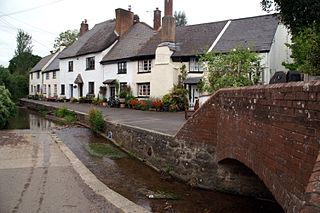
Slapton is a village and civil parish in the South Hams district of Devon, England. It is located near the A379 road between Kingsbridge and Dartmouth, and lies within the South Devon Area of Outstanding Natural Beauty (AONB). The nearby beach is Slapton Sands; despite its name, it is not a sandy beach but a shingle one.
Woodbury is a village and civil parish in East Devon in the English county of Devon, 7 miles (11 km) south east of the city of Exeter. At the 2011 Census the village had a population of 1,605, and the parish had a population of 3,466. It lies on the east bank of the Exe Estuary, has borders – clockwise from the estuary – with the district of Exeter and then the parishes of Clyst St George, Clyst St Mary, Farringdon, Colaton Raleigh, Bicton and Lympstone. Woodbury is part of the electoral ward of Woodbury and Lympstone whose population at the 2011 Census was 5,260.

Broadhempston is a village, parish and former manor in Devon, England, situated about 4 miles north of Totnes. It is now administered by Teignbridge District Council. According to the 2001 census the parish contained 257 houses with a population of 641.

Baunton is a village and civil parish in the Cotswold district of Gloucestershire, England, located about two miles north of Cirencester on the River Churn.
Bondleigh is a village and civil parish in the West Devon district of Devon, England, on the River Taw, north of North Tawton. According to the 2011 census it had a population of 167.

Buckland Monachorum is a village and civil parish in the West Devon district of Devon, England, situated on the River Tavy, about 10 miles north of Plymouth.

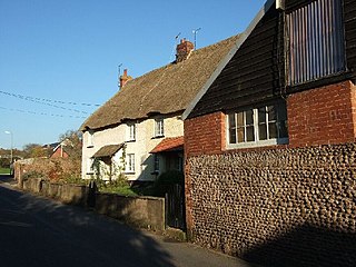
Chudleigh is an ancient wool town located within the Teignbridge District Council area of Devon, England; it is sited between Newton Abbot and Exeter. The electoral ward with the same name had a population of 1,488 at the 2011 census.
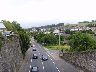
Kingskerswell is a village and civil parish within Teignbridge local government district in the south of Devon, England. The village grew up where an ancient track took the narrowest point across a marshy valley and it is of ancient foundation, being mentioned in the Domesday Book. It has a church dating back to the 14th century and the ruins of a manor house of similar date. The coming of the railway in the 1840s had a large effect on the village, starting its conversion into a commuter town. The village is a major part of the electoral ward called Kerswell-with-Combe. This ward had a population of 5,679 at the 2011 census.

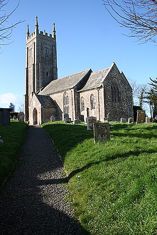
Cheriton Bishop is a village and civil parish situated on the northern borders of Dartmoor National park between Exeter and Okehampton, within Mid Devon District, Devon, England. The population at the 2021 Census was 754. The history of the settlement can be traced back over a thousand years when the old village centre was established as a commercial centre for the local farming community.
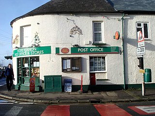
Stoke Canon is a small village and civil parish near the confluence of the rivers Exe and Culm on the main A396 between Exeter and Tiverton in the English county of Devon, and the district of East Devon. At the 2001 census, it had a population of 660. The population was unchanged in 2011 but the village forms the major part of the Exe Valley electoral ward. The population of this ward was 2,041 at the 2011 Census.

Witheridge is a village and civil parish in the North Devon district of Devon, England. In 2001 the population of the parish was 1162, reducing slightly to 1,158 at the 2011 Census. An electoral ward with the same name exists. The population at the above census was 2,313. Its name may be derived from the Old English for "Weather Ridge", which would fit with the village's somewhat exposed situation.

Highweek, less commonly called Highweek Village is an ecclesiastical parish, former manor and village, now a suburb of Newton Abbot, but still retaining its village identity, in the civil parish of Newton Abbot, in the Teignbridge district, in the county of Devon, England. It is prominent and recognisable due to its high location on a ridge on the north western edge of the town. The area is the centre of the modern electoral ward of Bradley. That ward's population at the 2011 census was 5,043.

Gulworthy is a hamlet and civil parish in the West Devon district, in Devon, England that adjoins the border with Cornwall. There are a group of buildings by the road junction Gulworthy Cross which constitute the centre of the parish. These are Gulworthy School, St Paul's Church and the Parish Hall. In 2011 the parish had a population of 518. However it is part of the electoral ward of Tamarside, the population of Tamarside at the 2011 census was 1,622.

Martinhoe is a small settlement and civil parish in North Devon district of Devon, England. Martinhoe is within the Exmoor National Park, the smallest National Park in England. In the 2011 census Martinhoe Parish was recorded as having a population of 159. Martinhoe is in the Combe Martin ward, for elections to the district council. Martinhoe's local government takes the form of a parish meeting and as such has no parish council nor elected parish councillors.

