
Alderley is a northern suburb in the City of Brisbane, Queensland, Australia. In the 2021 census, Alderley had a population of 6,748 people.

Mitchelton is a north-western suburb in the City of Brisbane, Queensland, Australia. In the 2021 census, Mitchelton had a population of 9,244 people.

The Gap is a north-western suburb in the City of Brisbane, Queensland, Australia. In the 2021 census, The Gap had a population of 17,318 people.

Mount Nebo is a rural locality in the City of Moreton Bay, Queensland, Australia. In the 2021 census, Mount Nebo had a population of 430 people.

Mount Glorious is a rural locality in the City of Moreton Bay, Queensland, Australia. In the 2021 census, Mount Glorious had a population of 343 people.

Ashgrove is a suburb in the City of Brisbane, Queensland, Australia. In the 2021 census, Ashgrove had a population of 13,450 people.

Gaythorne is a suburb in the City of Brisbane, Queensland, Australia. In the 2021 census, Gaythorne had a population of 3,158 people.

Brisbane Forest Park, is located on parts of the D'Aguilar Range. The large nature reserve lies on the western boundary of City of Brisbane into the City of Moreton Bay, Queensland, Australia, in Enoggera Reservoir, adjacent to The Gap and between the Mount Coot-tha Reserve on the Taylor Range and higher peaks to the north. Brisbane Forest Park supports plants and animals and is essential to their survival. The main entrance is located in the suburb of The Gap although there are a number of other access points.
Newmarket is a north-west suburb in the City of Brisbane, Queensland, Australia. In the 2021 census, Newmarket had a population of 5,083 people.

Red Hill is an inner northern suburb in the City of Brisbane, Queensland, Australia. In the 2021 census, Red Hill had a population of 5,834 people.

Enoggera is a north-western suburb in the City of Brisbane, Queensland, Australia. It is home to the Gallipoli Barracks.

Upper Kedron is a outer north-western suburb in the City of Brisbane, Queensland, Australia. In the 2021 census, Upper Kedron had a population of 5,800 people.

Chuwar is a town and suburb of Ipswich in the City of Ipswich and a locality of the City of Brisbane in South East Queensland, Australia. In the 2021 census, the suburb of Chuwar had a population of 2,178 people.
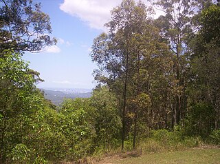
Camp Mountain is a rural locality in the City of Moreton Bay, Queensland, Australia. In the 2021 census, Camp Mountain had a population of 1,447 people.
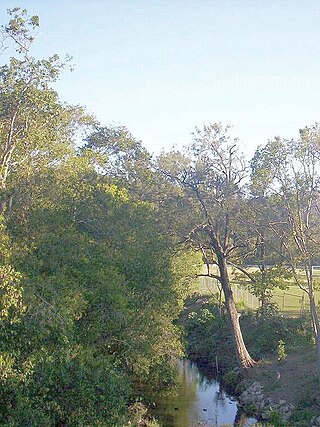
Enoggera Creek is a creek which flows through the City of Brisbane in South-East Queensland, Australia.
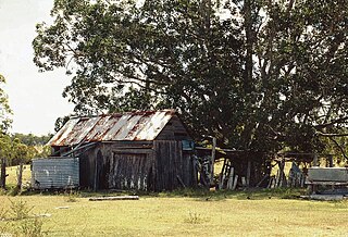
Duckinwilla is a rural locality in the Fraser Coast Region, Queensland, Australia. In the 2021 census, Duckinwilla had a population of 38 people.
Highvale is a rural residential locality in the City of Moreton Bay, Queensland, Australia. In the 2021 census, Highvale had a population of 1,979 people.

Jollys Lookout is a rural locality in the City of Moreton Bay, Queensland, Australia. In the 2021 census, Jollys Lookout had a population of 73 people.
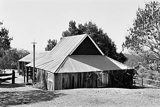
Slab Hut Farm is a heritage-listed farm at 847 Mt Nebo Road, Enoggera Reservoir, City of Brisbane, Queensland, Australia. It was built from 1890s to 1890s. It was added to the Queensland Heritage Register on 21 October 1992.

Hazeldean is a rural locality in the Somerset Region, Queensland, Australia. In the 2021 census, Hazeldean had a population of 326 people.


