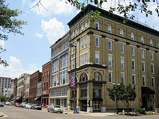
The Blacksburg-Christiansburg Metropolitan Statistical Area, formerly the Blacksburg-Christiansburg-Radford Metropolitan Statistical Area, is a Metropolitan Statistical Area (MSA) as defined by the United States Office of Management and Budget (OMB) located in the New River Valley of Southwest Virginia. As of the 2020 census, the MSA had a population of 181,863.

The Kingsport–Bristol–Bristol metropolitan area is a metropolitan statistical area (MSA) in Northeast Tennessee and Southwest Virginia, United States, as defined by the Office of Management and Budget (OMB). It was formed in December 2003 by the merger of the Bristol, VA MSA and Kingsport–Bristol, TN–VA MSA.

The Lynchburg Metropolitan Statistical Area is a United States Metropolitan Statistical Area (MSA) in the state of Virginia, as defined by the Office of Management and Budget (OMB) as of June 2003. As of the 2000 census, the MSA had a population of 228,616. In 2009 this was estimated to have risen to 247,447; as of 2016, the Lynchburg MSA was estimated to have a population of 260,320, making it the fifth-largest metro area in the state.

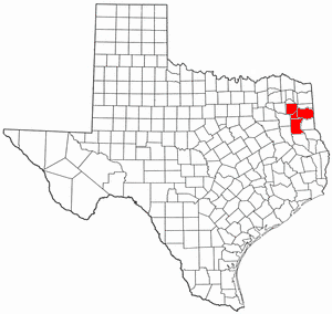
The Longview–Marshall Combined Statistical Area covered four counties in Northeast Texas. The statistical area consists of the Longview Metropolitan Statistical Area and the Marshall Micropolitan Statistical Area. Prior to 2003, the area was known as the Longview–Marshall Metropolitan Statistical Area, which consisted of Gregg, Harrison, Rusk, and Upshur counties. As of the 2000 census, the CSA had a population of 256,152. In 2023, the Marshall micropolitan area was removed, and Harrison County was combined into the Longview metropolitan area.

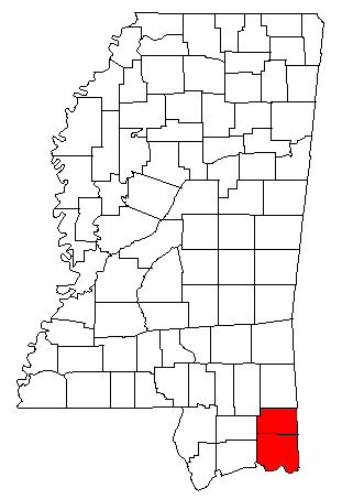
The Pascagoula Metropolitan Statistical Area was a metropolitan area in the southeastern corner of Mississippi that covered two counties - Jackson and George. As of the 2000 census, the MSA had a population of 150,564. The area was significantly impacted by Hurricane Katrina in 2005. A July 1, 2009 estimate placed the population at 155,603. Prior to the hurricane, the area had experienced steady population growth. It was also part of the larger Gulfport-Biloxi-Pascagoula Combined Statistical Area.

The Columbus-West Point, MS Combined Statistical Area was formerly defined as consisting of Clay and Lowndes counties in northeastern Mississippi, which were separately treated as the West Point Micropolitan Statistical Area and Columbus Micropolitan Statistical Area, respectively. As of the 2000 census, the CSA had a population of 83,565. A July 1, 2009 estimate placed the population at 80,380.

The Montgomery, Alabama Metropolitan Statistical Area is a metropolitan area in central Alabama. As of 2020, the MSA had a population of 386,047, ranking it 142nd among United States Metropolitan Statistical Areas. That number is up +3.07% from the 2010 census number of 374,536. In September of 2018 the OMB formed the Montgomery-Selma-Alexander City CSA. It's made up of the 4 county Montgomery MSA and the Selma, AL and Alexander City, AL micropolitan areas. The 7 county CSA has a population of 522,873 as of the 2020 census.

The New Bern Metropolitan Statistical Area, as defined by the United States Census Bureau, is an area consisting of three counties in the Inner Banks region of eastern North Carolina, anchored by the city of New Bern. The designation of the area was changed from Micropolitan to Metropolitan in 2013.

The Paducah, KY–IL Metropolitan Statistical Area, as defined by the United States Census Bureau, is an area consisting of five counties – three in the Jackson Purchase region of Kentucky, a fourth Kentucky county bordering the Purchase, and one in Southern Illinois – anchored by the city of Paducah, Kentucky. The Paducah KY-IL Micropolitan Statistical Area was upgraded to Metropolitan Statistical Area (MSA) status on July 21, 2023, by the Office of Management and Budget.. Carlisle County, Kentucky, was added to the area following the 2020 Census of the Population. The total MSA population from the 2020 United States Census was 103,486.

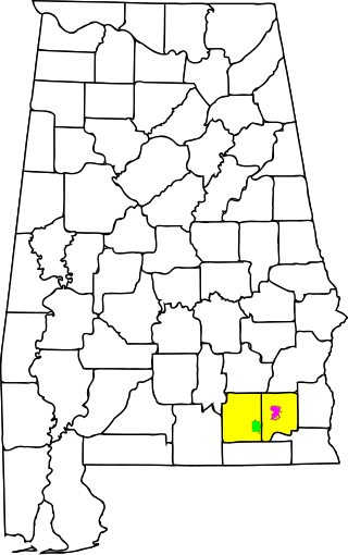
The Enterprise–Ozark Micropolitan Statistical Area, as defined by the United States Census Bureau, was an area consisting of two counties in southeastern Alabama, anchored by the cities of Enterprise and Ozark. As of the 2000 census, the μSA had a population of 92,744.

The Alexander City Micropolitan Statistical Area is a former micropolitan statistical area that consisted of two counties in Alabama, anchored by the city of Alexander City, as defined by the United States Census Bureau. As of the 2010 census, the μSA had a population of 53,155.

The Americus micropolitan statistical area, as defined by the United States Census Bureau, is an area consisting of two counties in Georgia, anchored by the city of Americus.

The Waycross Micropolitan Statistical Area (μSA), as defined by the United States Census Bureau, is an area consisting of two counties in Georgia, anchored by the city of Waycross.

The Martinsville Micropolitan Statistical Area is a United States Micropolitan Statistical Area (USA) in Virginia, as defined by the Office of Management and Budget (OMB) as of June, 2003. As of the 2000 census, the μSA had a population of 73,346.
The Jasper micropolitan statistical area, as defined by the United States Census Bureau, is an area consisting of one county in southwestern Indiana, anchored by the city of Jasper. At the 2020 census, the Micropolitan area (μSA) had a population of 43,637 up from a population of 41,889 in the 2010 census. In previous statistical definition updates, the area also included Pike County which was removed in the 2023 updates.

The Macon metropolitan area is a metropolitan statistical area consisting of five counties in Central Georgia, anchored by the principal city of Macon. At the 2010 U.S. census, the five-county area had a population of 232,293. A July 2017 estimate placed the population at 228,914. In 2022, its estimated population was 235,805.

The Dublin Micropolitan Statistical Area, as defined by the United States Census Bureau, is an area consisting of two counties in Georgia, anchored by the city of Dublin.
The Kokomo Metropolitan Statistical Area, as defined by the United States Census Bureau, is an area consisting of Howard County in Indiana. Howard County had a population estimate of 83,831 in 2023. Kokomo is also the principal city of the area known as North Central Indiana, the area around Kokomo with economic ties. The six county area including Cass, Clinton, Fulton, Howard, Miami, and Tipton counties had population of 228,331 people in 2010.

The Milledgeville Micropolitan Statistical Area, as defined by the United States Census Bureau, is an area consisting of one county in Georgia, anchored by the city of Milledgeville. The area also included Hancock County until the 2023 OMB statistical area updates when the county was removed.

The Hilton Head Island–Bluffton metropolitan area, officially the Hilton Head Island-Bluffton, SC Metropolitan Statistical Area as defined by the United States Census Bureau, is a metropolitan statistical area consisting of the two southernmost counties in the Lowcountry region of South Carolina, centered on the resort town of Hilton Head Island. As of the 2020 census, the MSA had a population of 215,908. Prior to March 2013, the region was considered a micropolitan statistical area.


