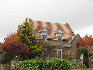
Robertson is a town in the Southern Highlands of New South Wales, Australia, in Wingecarribee Shire. The town is located on the edge of an elevated plateau about 35 km (22 mi) from the coast.

Narara is a suburb just north of Gosford on the Central Coast region of New South Wales, Australia. It is part of the Central Coast Council local government area.

Lisarow is a suburb of the Central Coast region of New South Wales, Australia, located 8 kilometres (5 mi) north-northeast of Gosford's central business district via the Pacific Highway. It is part of the Central Coast Council local government area.

Erina is a suburb located in the Central Coast region of New South Wales, Australia between Gosford and the Pacific Ocean at Terrigal. It is part of the Central Coast Council local government area.
Bateau Bay is a suburb of the Central Coast region of New South Wales, Australia. It is part of the Central Coast Council local government area. Bateau Bay lies in the area known as Darkinjung to Indigenous Australians. "Bateau" is French for "boat." The suburb was previously known as Boat Harbour but it was changed to the French version as a marketing activity in the 1970s.

Niagara Park is a suburb of the Central Coast region of New South Wales, Australia 6 kilometres (4 mi) north of Gosford's central business district. It is part of the Central Coast Council local government area. It consists of residential housing as well as acreage blocks and small farms with many houses backing onto natural bushland and reserves. It is close to the M1 and is 20 minutes from Shelly Beach. A peaceful community with rural aspects and a large technology driven primary school, Niagara Park is ideal for families with young children.
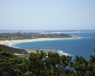
Pretty Beach is a south-eastern suburb of the Central Coast region of New South Wales, Australia on the Bouddi Peninsula. It is part of the Central Coast Council local government area.

Kanwal is a suburb of the Central Coast region of New South Wales, Australia. It is part of the Central Coast Council local government area and is approximately 90 km north of Sydney, 55 km south of Newcastle and 6 km west of the Pacific Ocean.

Berkeley Vale is a suburb of the Central Coast region of New South Wales, Australia. Berkeley Vale is commuting distance from Sydney. It is part of the Central Coast Council local government area and part of the federal division of Dobell.
Gwandalan is a suburb of the Central Coast region of New South Wales, Australia, located on a peninsula extending northwards into Lake Macquarie. It is part of the Central Coast Council local government area.
San Remo is a suburb of the Central Coast region of New South Wales, Australia. It is part of the Central Coast Council local government area and is home to Northlakes High School, which has over 1000 students, and the San Remo Neighbourhood Centre.
Tacoma is a suburb of the Central Coast region of New South Wales, Australia. It is part of the Central Coast Council local government area.
Woongarrah is a suburb of the Central Coast region of New South Wales, Australia. It is part of the Central Coast Council local government area, as well as part of the Warnervale development precinct.
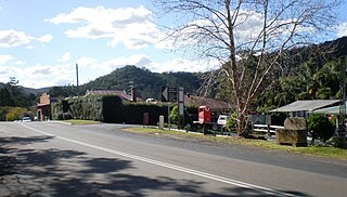
Yarramalong(cedar country) is a township and suburb of the Central Coast region of New South Wales, Australia, located 20 kilometres (12 mi) upstream from Wyong along the Wyong River. It is part of the Central Coast Council local government area.

Avoca Beach is a coastal suburb of the Central Coast region of New South Wales, Australia, about 95 kilometres (59 mi) north of Sydney. Avoca Beach is primarily a residential suburb, Avoca Beach is also a popular tourist destination. Avoca Beach is known for its surfing and state (regional) surf competitions. Avoca Beach village has a variety of restaurants and cafes as well as a post office, newsagent, pharmacy and mini-mart. Avoca Beach also has a historic cinema, a hotel, bowling club, motel and caravan park. It is located within the Central Coast Council local government area.
Erina Heights is a suburb of the Central Coast region of New South Wales, Australia between Gosford and the Pacific Ocean at Terrigal. It is part of the Central Coast Council local government area.
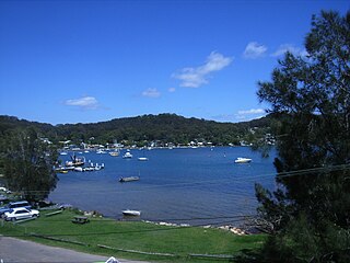
Point Clare is a suburb of the Central Coast region of New South Wales, Australia located approximately 75 kilometres (47 mi) north of Sydney and 4 kilometres (2 mi) south-west of Gosford's central business district on the western shore of Brisbane Water. It is part of the Central Coast Council local government area.
Wadalba is a suburb of the Central Coast region of New South Wales, Australia. It is part of the Central Coast Council local government area.
Blue Haven is a suburb on the Central Coast of New South Wales, Australia, located on Pacific Highway at Wallarah Creek. Its local government area is Central Coast Council.

Maroochydore is a coastal suburb of the Sunshine Coast, Queensland, Australia, and is the central suburb and central business district of the Maroochydore urban centre. In the 2016 census, the suburb of Maroochydore had a population of 16,800 people.
