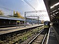
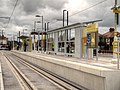
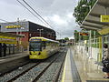
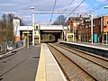
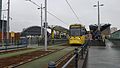
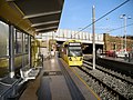
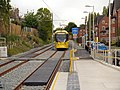
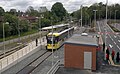
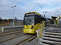
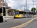
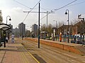
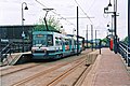
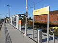
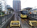
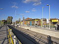
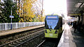
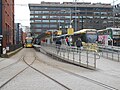
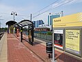
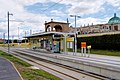
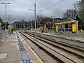
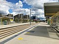
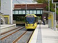
Since opening in 1992, the Manchester Metrolink light-rail/tram system has grown to a network of 99 tram stops.
Contents
- List of Metrolink stops
- Current stops
- Former stops
- Fictional stops
- Map
- Future
- Proposed
- Cancelled
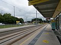
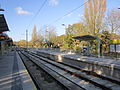
- Platforms
- See also
- References
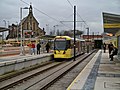
The system opened on 6 April 1992 with 10 tram stops from Manchester Victoria station to Bury, beginning Phase 1 of the network's expansion. Phase 1 continued and lines through the city centre and to Altrincham were built and opened on 27 April and 15 June of that year respectively, along with a short spur to Manchester Piccadilly railway station via Piccadilly Gardens on 20 July.
Before Phase 2, in 1998, High Street tram stop was closed, and Market Street was redeveloped to a bi-directional tram stop.
Phase 2 gave the network 12 new tram stops: a new interchange at Cornbrook was opened, plus a new line through Salford Quays up to Broadway tram stop in 1999, and was extended to Eccles in 2000.
Before Phase 3 began, on 20 September 2010, MediaCityUK tram stop opened on a small spur of the Eccles Line, and G-Mex tram stop was renamed to Deansgate-Castlefield, its current name.
Phase 3a involved the construction of 36 new stops and new lines to Oldham and Rochdale, Droylsden and Chorlton. The first stops as part of Phase 3a opened on 7 July 2011 on the South Manchester Line up to St Werburgh's Road and the final stop opened on 31 March 2014 on the Oldham and Rochdale Line up to Rochdale Town Centre.
Woodlands Road tram stop closed in 2013 to make way for two new stops at Queens Road, serving the Metrolink depot and transport museum, and Abraham Moss, serving the library and leisure centre in the area.
During Phase 3b, a new 9 miles (14 km) line to Manchester Airport became operational in November 2014 - over a year ahead of schedule. [1] [2] The East Manchester Line was extended from Droylsden to Ashton-under-Lyne, and the South Manchester Line from St Werburgh's Road in Chorlton to East Didsbury.
After the Airport Line opened, the Manchester Metrolink was complete, but could still be extended to regions not reached, which led to the Trafford Park Line opening to the Trafford Centre in March 2020.
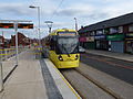
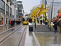
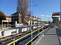
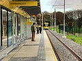
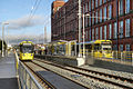
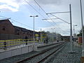
The network now consists of over 62 miles (100 km) of track, making it the largest tram system in the United Kingdom and second only to the London Underground in terms of an urban commuter network. The Metrolink system has 99 stops.
Primary future proposals include tram-trains to Bolton, Heywood, Hale, and Wigan, a spur off the Bury Line to Middleton, Ashton to Stalybridge, the Wythenshawe Loop, and most likely the first to happen, [3] an extension from East Didsbury to Stockport's interchange.