The continent of Europe comprises a large part of the Palearctic ecozone, with many unique biomes and ecoregions. Biogeographically, Europe is tied closely to Siberia, commonly known as the Euro-Siberian region.
Contents
- List of ecoregions in Europe
- Temperate broadleaf and mixed forests
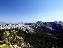
- Temperate coniferous forests
- Taiga and Boreal forests
- Temperate grasslands, savannas, and shrublands
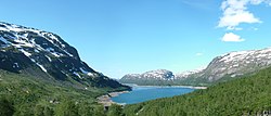
- Tundra
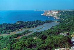
- Mediterranean forests, woodlands, and scrub
- Deserts and Xeric Shrublands
- Global 200 ecoregions in Europe
- Terrestrial
- Freshwater
- Marine
- Sources
- References
- External links
The European Environmental Agency (EEA) divides Europe into a total of eleven terrestrial biogeographical regions and seven regional seas. [1] The agency has issued the Digital Map of European Ecological Regions (DMEER), and operates with a total of 70 ecoregions, of which 58 are within the European continent. Some of these ecoregions are congruent with the World Wildlife Fund's (WWF) ecoregions, and some are not. [2] [3]