Luxor, Pennsylvania | |
|---|---|
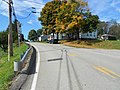
 Intersection of Bovard-Luxor Road and Tipple Row Road in Luxor PA | |
 Luxor, Pennsylvania Location within the U.S. state of Pennsylvania  Luxor, Pennsylvania Luxor, Pennsylvania (the United States) | |
| Coordinates: 40°20′3″N79°28′41″W / 40.33417°N 79.47806°W | |
| Country | United States |
| State | Pennsylvania |
| County | Westmoreland |
| Elevation | 1,089 ft (332 m) |
| Time zone | UTC-5 (Eastern (EST)) |
| • Summer (DST) | UTC-4 (EDT) |
| ZIP codes | 15662 |
| GNIS feature ID | 1180092 [1] |
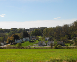
Luxor is an unincorporated community and coal town in Hempfield Township, Westmoreland County, Pennsylvania, United States.