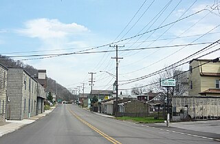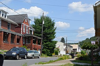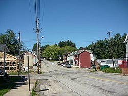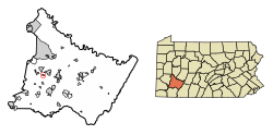
Dravosburg /draːˈvoze:burg/ is a borough in Allegheny County, Pennsylvania, United States, and is part of the Pittsburgh Metro Area. The population was 1,612 at the 2020 census. Dravosburg is located along the Monongahela River.

West Elizabeth is a borough in Allegheny County, Pennsylvania, United States. The population was 518 at the 2010 census.

Applewold is a borough in Armstrong County, Pennsylvania, United States. The population was 310 at the 2010 census.

Martinsburg is a borough in the Morrisons Cove section of Blair County, Pennsylvania, United States. The population was 1,874 at the 2020 census. It is part of the Altoona, PA Metropolitan Statistical Area.

East Butler is a borough in Butler County, Pennsylvania, United States. The population was 732 at the 2010 census.

Dale is a borough in Cambria County, Pennsylvania, United States. It is part of the Johnstown, Pennsylvania Metropolitan Statistical Area. The population was 1,234 at the 2010 census, down from 1,503 at the 2000 census.

Armagh is a borough in Indiana County in the U.S. state of Pennsylvania. The population was 103 at the 2020 census.

Clymer is a borough in Indiana County, Pennsylvania, United States. The population was 1,336 at the 2020 census. The community was named after William Bingham Clymer, grandson of George Clymer, one of the signers of the United States Declaration of Independence. William Clymer sold the land the borough is situated on to Thomas White in the 1830s. Most of Clymer's family died in a tragic sea accident in 1878, which made national news and inspired the name. It is surrounded by but separate from Cherryhill Township.

Creekside is a borough in Indiana County, Pennsylvania, United States. The population was 284 at the 2020 census.

Cooperstown is a borough in Venango County, Pennsylvania, United States. The population was 460 at the 2010 census.

Long Branch is a borough in Washington County, Pennsylvania, United States. The population was 421 at the 2020 census.

Arona is a borough in Westmoreland County, Pennsylvania, United States. The population was 253 at the 2020 census.

East Vandergrift is a borough in Westmoreland County in the U.S. state of Pennsylvania. The population was 601 at the 2020 census.

Hunker is a borough in Westmoreland County, Pennsylvania, United States, which since 1950 has been part of the Pittsburgh metropolitan area. The population was 307 at the 2020 census.

Madison is a borough in Westmoreland County, Pennsylvania, United States. The population was 397 at the 2010 census. The borough was named for James Madison, fourth President of the United States.

Manor is a borough in Westmoreland County, Pennsylvania, United States. The population was 3,239 at the 2010 census. Manor metamorphosed from the original railroad stop, Manor Station, into the borough it is today.

North Belle Vernon is a borough in Westmoreland County, Pennsylvania, United States. The population was 1,971 at the 2010 census.

North Irwin is a borough in Westmoreland County, Pennsylvania, United States. The population was 846 at the 2010 census.

Sutersville is a borough in Westmoreland County, Pennsylvania, United States. The population was 605 at the 2010 census.

West Leechburg is a borough in Westmoreland County, Pennsylvania, United States, along the Kiskiminetas River. The population was 1,294 at the 2010 census.


