Related Research Articles

Burnie is a port city on the north-west coast of Tasmania, Australia. When founded in 1827, it was named Emu Bay, being renamed after William Burnie, a director of the Van Diemen's Land Company, in the early 1840s.

Wynyard (/ˈwɪnjɚd/) wi-nyuhd) is a rural town located on the North West coast of Tasmania, Australia. Wynyard is situated 17 kilometres (11 mi) west of Burnie. As of the 2016 census, Wynyard has an estimated urban population of 5,168 and a total greater area population of 6,001. The town is a regional hub servicing the surrounding rural areas, the adjacent Burnie Wynyard Airport provides commercial flights to Melbourne and other districts. The main council offices for the Waratah-Wynyard local government area are located in Wynyard.

The Advocate is a local newspaper of North-West and Western Tasmania, Australia. It was formerly published under the names The Wellington Times, The Emu Bay Times, and The North Western Advocate and The Emu Bay Times.

Sullivans Cove is on the River Derwent adjacent to the Hobart City Centre in Tasmania. It was the site of initial European settlement in the area, and the location of the earlier components of the Port of Hobart.

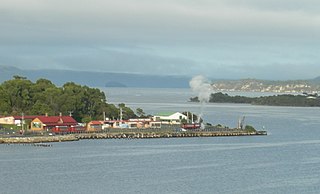
Regatta Point is the location of a port and rail terminus on Macquarie Harbour.

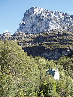
Frenchmans Cap is a mountain in the West Coast region of Tasmania, Australia. The mountain is situated in the Franklin-Gordon Wild Rivers National Park.
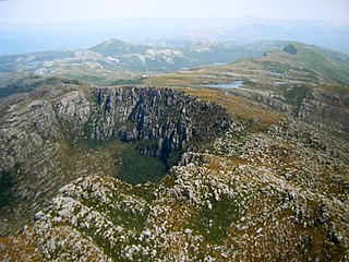
Mount Read is a mountain located in the West Coast region of Tasmania, Australia, and is at the north west edge of the West Coast Range.

The Queen River, part of the King River catchment, is a minor perennial river located in the West Coast region of Tasmania, Australia.
The Strahan–Zeehan Railway, also known as the "Government Railway", was a railway from Strahan to Zeehan on the west coast of Tasmania.
The Montezuma Falls, a horsetail waterfall on a minor tributary to the Pieman River, is located on the West Coast Range of Tasmania, Australia.
The Eldon Range is a mountain range located in the west coast region of Tasmania, Australia.
The Zeehan and Dundas Herald was a newspaper for the West Coast Tasmania community, based in Zeehan and Dundas from 1890 to 1922.

The Tyndall Range, commonly called The Tyndalls, is a mountain range that is part of the West Coast Range located in the Western region of Tasmania, Australia.
The Spero River is a perennial river located in the West Coast or South West region of Tasmania, Australia.

Queenstown in Western Tasmania has had two railway stations. The original was built for the railway built for the Mount Lyell Mining and Railway Company, and lasted until the closing of the railway line in 1962. The newer station was built for the re-built railway, the West Coast Wilderness Railway.

The Queenstown Airport is a former airport, now an unregistered landing ground located at Howard's Plains west of Queenstown, Tasmania, Australia.
Frenchmans Cap National Park was a Tasmanian national park that used the course of the Franklin River around the lower reaches of Frenchmans Cap and adjacent mountains and ridges as its boundary between 1941 and the 1990s.
Hillcrest is a residential locality in the local government area (LGA) of Burnie in the North-west and west LGA region of Tasmania. The locality is about 2 kilometres (1.2 mi) south-west of the town of Burnie. The 2016 census recorded a population of 1042 for the state suburb of Hillcrest. It is a suburb of Burnie in north-west Tasmania.
Montello is a suburb of the city of Burnie in North West Tasmania. It is about 2 kilometres (1.2 mi) south-west of the centre of Burnie, and recorded a population of 1217 in the 2016 census.
Yolande River is a river that starts in the West Coast Range, Western Tasmania, that drains Lake Margaret, is utilised by the Lake Margaret Power Station and is a tributary to the Henty River, west of Queenstown
References
- ↑ Gee, R. D; Tasmania. Department of Mines (1963), Structure and petrology of the Raglan Range, L.G. Shea, Government Printer, retrieved 23 February 2015
- ↑ "Raglan Ranges". The Advocate . Burnie, Tas. 15 May 1929. p. 4. Retrieved 23 February 2015– via National Library of Australia.
- ↑ "Prospectors' Find". The Advocate (DAILY ed.). Burnie, Tas. 5 April 1930. p. 8. Retrieved 23 February 2015– via National Library of Australia.
- ↑ page 202 – W.A. Tully – as well as the Collingwood valley Binks, C. J (2006), Hills of the west wind : reflections on the Tasmanian landscape, Barrallier Books, ISBN 978-0-9585838-7-9
Coordinates: 42°10′S145°50′E / 42.167°S 145.833°E