Santa Rosa, or Kaij Mek (O'odham), is a census-designated place (CDP) in Pima County, Arizona, United States. The population was 438 at the 2000 census.
Roosevelt Gardens is a census-designated place (CDP) in Broward County, Florida, United States. The population was 2,456 at the 2010 census.

Naples Park is an unincorporated community and census-designated place (CDP) in Collier County, Florida, United States. The population was 5,967 at the 2010 census. It is part of the Naples–Marco Island Metropolitan Statistical Area.

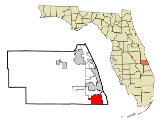
Florida Ridge is a census-designated place (CDP) in Indian River County, Florida, United States. The population was 18,164 at the 2010 census.

Belle Glade Camp was a census-designated place (CDP) in Palm Beach County, Florida, United States. The population was 1,141 at the 2000 census.

St. Dennis is a former census-designated place in western Jefferson County, Kentucky, United States. The population was 9,177 at the 2000 census. In 2003, the area was consolidated into the new Louisville Metro due to the merger of the Jefferson County and Louisville governments into one entity, thus St. Dennis remains as a unique neighborhood within Louisville.

White Island Shores is a census-designated place (CDP) in the town of Plymouth in Plymouth County, Massachusetts, United States, along the shores of White Island Pond. The population was 2,106 at the 2010 census.

Sams Corner is a census-designated place (CDP) in Mayes County, Oklahoma, United States. The population was 137 at the 2010 census, compared to 126 at the 2000 census.

Paxtonia is an unincorporated community and census-designated place (CDP) in Lower Paxton Township, Dauphin County, Pennsylvania, United States. The population was 5,412 at the 2010 census. It is part of the Harrisburg–Carlisle Metropolitan Statistical Area.

Altamont is a census-designated place (CDP) in Schuylkill County, Pennsylvania, USA. The population was 2,689 at the 2000 census.

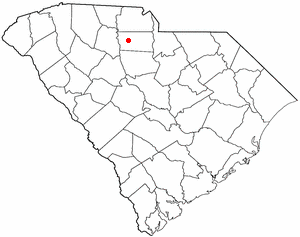
Gayle Mill is a census-designated place (CDP) in Chester County, South Carolina, United States. The population was 913 at the 2010 census, down from 1,094 at the 2000 census.

Socastee is a census-designated place (CDP) in Horry County, South Carolina, United States. The population was 19,952 at the 2010 census.

Rancho Alegre is an unincorporated area and census-designated place (CDP) in Jim Wells County, Texas, United States. The population was 1,704 at the 2010 census.

Fairlawn is a census-designated place (CDP) in Pulaski County, Virginia, United States. The population was 2,367 at the 2010 census. It is served by the Radford, Virginia post office and is located on the opposite side of the New River from Radford.

Cross Lanes is a census-designated place (CDP) and suburb of Charleston in Kanawha County, West Virginia, United States. As of the 2010 census, its population was 9,995.

South Greeley is a census-designated place (CDP) in Laramie County, Wyoming, United States. It is part of the Cheyenne, Wyoming Metropolitan Statistical Area. The population was 4,217 at the 2010 census.

Marshfield is a census-designated place (CDP) in the town of Marshfield in Plymouth County, Massachusetts, United States. The population was 4,335 at the 2010 census.

Webster is a census-designated place (CDP) in the town of Webster in Worcester County, Massachusetts, United States. The population was 11,412 at the 2010 census.

Brattleboro is a census-designated place (CDP) corresponding to the densely populated core of the town of Brattleboro in Windham County, Vermont, United States. The population was 8,289 at the 2000 census.

Topsham is a census-designated place (CDP) in the town of Topsham in Sagadahoc County, Maine, United States. The population was 6,271 at the 2000 census. It is part of the Portland–South Portland–Biddeford, Maine Metropolitan Statistical Area.


