West Surrey | |
|---|---|
Future unitary authority area and borough | |
| | |
| West Surrey (1) shown within Surrey | |
| Coordinates: 51°14′46″N0°33′07″W / 51.246°N 0.552°W | |
| Sovereign state | United Kingdom |
| Country | England |
| Region | South East |
| Ceremonial county | Surrey |
| Incorporated | 1 April 2027 |
| Government | |
| • Type | Unitary authority |
| • Body | West Surrey Council |
| Time zone | UTC+0 (GMT) |
| • Summer (DST) | UTC+1 (BST) |
West Surrey is a planned unitary authority area in Surrey, England, due to be created in 2027. It covers the western part of the county of Surrey, including the county town of Guildford. It will replace Surrey County Council and six district councils with a single-tier unitary authority.
The first councillors will be elected in the 2026 West Surrey Council election. [1] The area will be formed from six existing districts: Spelthorne, Runnymede, Surrey Heath, Woking, Guildford, and Waverley.
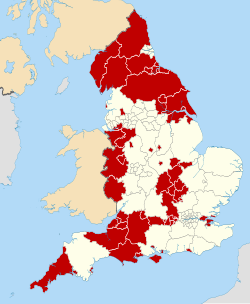
Since local government reorganisation in 1974, the area of West Surrey has had local public services delivered by a two-tier system consisting of Surrey County Council and six district councils.
The planned creation of West Surrey and West Surrey Council in April 2027 was announced by Steve Reed, the Secretary of State for Housing, Communities and Local Government, in October 2025. The government announced that Surrey County Council and its eleven district councils would be abolished and replaced with two unitary authorities. Reed said the reasoning for the local government reorganisation was to better the financial sustainability of Surrey's local authorities and to improve public service delivery. [2]
The governing body for West Surrey will be West Surrey Council, which is due to be established in 2027. [1]
West Surrey is in the western part of the county of Surrey, a ceremonial and historic in south-eastern England.
Natural England classifies England into distinct National Character Areas, each defined by landscape, biodiversity and cultural attributes. The southeasternmost portion of West Surrey lies within the Low Weald (NCA 121), transitioning northward to Weald Grassland (NCA 120), followed by a narrow band of the North Downs (NCA 119). Much but not all of these areas fall within the Surrey Hills National Landscape (or AONB). [3] North of the Downs is the Thames Basin, including the Thames Basin Lowlands (NCA 114) around Guildford and the Thames Basin Heaths (NCA 129) further north. Finally, the northernmost part of the area, around Staines, falls within the Thames Valley (NCA 115). [4]