
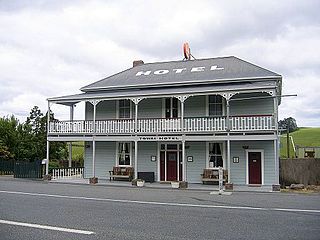
Kawakawa is a small town in the Bay of Islands area of the Northland Region of New Zealand. Kawakawa developed as a service town when coal was found there in the 1860s, but coal mining ceased in the early 20th century. The economy is now based on farming. The town is named after the kawakawa shrub.
Pākiri is a locality in Auckland, in the former Rodney District of New Zealand. Leigh is about 9 kilometres (6 mi) to the south-east. The Pākiri River flows through the area and into the Hauraki Gulf / Tīkapa Moana to the north-east.
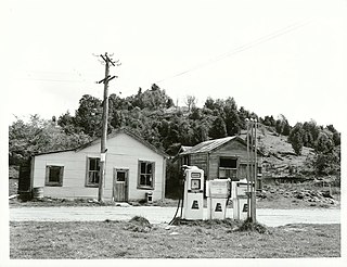
Towai is a locality in the Northland Region of the North Island of New Zealand. State Highway 1 passes just to the east. Kawakawa is 16 km northwest, and Whakapara is 17 km southeast. The North Auckland Line passes through Towai.

Waimate North is a small settlement in Northland, New Zealand. It is situated between Kerikeri and Lake Ōmāpere, west of the Bay of Islands.
Te Hāpua is a community on the shores of the Parengarenga Harbour in Northland, New Zealand. The road to Te Hāpua leaves State Highway 1 at Waitiki Landing. There are no shops or motels.
Pukepoto is a town in Northland, New Zealand. It lies south west of Kaitaia and north east of Ahipara. The Herekino Forest lies to the south east.

Whangape Harbour is a harbour on the west coast of Northland, New Zealand. There is a settlement called Whangape on the northern side of the harbour. Another, called Pawarenga, is located on the southern side. Kaitaia is 42 km north east.
Waikare is a locality in Northland, New Zealand. The Waikare River flows from the Russell Forest past Waikare and into the Waikare Inlet, which leads into the Bay of Islands.
Panguru is a community in the northern Hokianga harbour, in Northland, New Zealand. The Whakarapa Stream flows from the Panguru Range in the Warawara Forest to the west, through Panguru and into the Hokianga.
Kennedy Bay is a locality in the north eastern Coromandel Peninsula of New Zealand. The Harataunga and Omoho Streams flow from the Coromandel Range past the settlement and into the bay to the east.
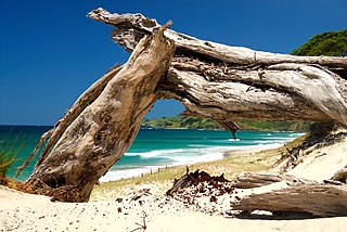
Rawhiti is a small beachfront town about 27km from Russell in the Bay of Islands of New Zealand.

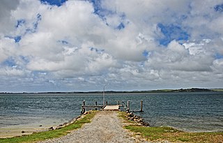
Tinopai is a settlement on the Komiti Bay, part of the Hukatere Peninsula in the northern Kaipara Harbour in Northland, New Zealand. The Otamatea River flows from the north east past Tinopai and into the harbour. Matakohe is 23 km (14 mi) to the north.
Maromaku is a locality in the Northland Region of the North Island of New Zealand. Kawakawa is north, and Towai is southeast. State Highway 1 runs past Maromaku to the north, and the North Auckland Line runs through it.
Motatau or Mōtatau is a locality in the Northland Region of the North Island of New Zealand. Maromaku is to the east. The Taikirau Stream flows from east through Motatau and then runs northwest to join the Waiharakeke Stream. The North Auckland Line runs through Motatau.

Maungakaramea is a locality in Northland, New Zealand. Whangārei is to the northeast.
Pipiwai is a locality in the Te Horo valley in Northland, New Zealand. Whangārei is about 35 km to the southeast. Titoki is about 16 km to the south.
Rawhitiroa is a locality situated in South Taranaki, New Zealand. It is positioned approximately 6.5 km east of Eltham.
Tauhoa is a rural community in the Auckland Region of New Zealand's North Island.
Mokai is a rural community in the Taupō District and Waikato region of New Zealand's North Island.
Glorit is a rural community in the Auckland Region of New Zealand's North Island. State Highway 16 runs through the area, connecting to Tauhoa 12 km to the north and Helensville to the south.
