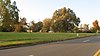
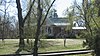
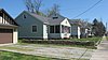
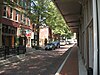
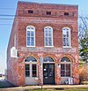
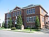
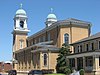
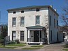
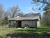
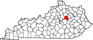
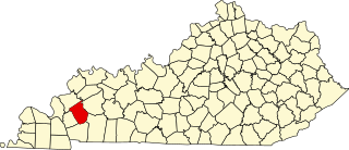
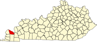
This is intended to be a complete list of the properties and districts on the National Register of Historic Places in McCracken County, Kentucky, United States. The locations of National Register properties and districts for which the latitude and longitude coordinates are included below, may be seen in a map.[1]
There are 34 properties and districts listed on the National Register in the county.
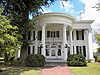
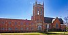
Now a welcome center for the state of Kentucky called Whitehaven, it is the only historic house used as any state's welcome center. The building contains the furniture of Vice President Alben Barkley.[5]
This is a list of properties and historic districts in Kentucky that are listed on the National Register of Historic Places. There are listings in all of Kentucky's 120 counties.
This is a list of the National Register of Historic Places listings in Woodford County, Kentucky.
This is a list of the National Register of Historic Places listings in Washington County, Kentucky.
This is a list of the National Register of Historic Places listings in Franklin County, Kentucky.
This is a list of the National Register of Historic Places listings in Henderson County, Kentucky.
This is a list of the National Register of Historic Places listings in Hart County, Kentucky.
This is a list of the National Register of Historic Places listings in Edmonson County, Kentucky.
This is a list of the National Register of Historic Places listings in Barren County, Kentucky.
This is a list of the National Register of Historic Places listings in Campbell County, Kentucky.
This is a list of the National Register of Historic Places listings in Clark County, Kentucky.
This is a list of the National Register of Historic Places listings in Pulaski County, Kentucky.
This is a list of the National Register of Historic Places listings in Montgomery County, Kentucky.
This is a list of the National Register of Historic Places listings in Madison County, Kentucky.
This is a list of the National Register of Historic Places listings in Mercer County, Kentucky.
This is a list of the National Register of Historic Places listings in Nicholas County, Kentucky.
This is a list of the National Register of Historic Places listings in Ohio County, Kentucky.
This is a list of the National Register of Historic Places listings in Floyd County, Kentucky.
This is a list of the National Register of Historic Places listings in Johnson County, Kentucky.
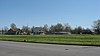
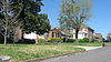
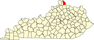
This is intended to be a complete list of the properties and districts on the National Register of Historic Places in Kenton County, Kentucky, United States. The locations of National Register properties and districts for which the latitude and longitude coordinates are included below, may be seen in a map.
This is a list of the National Register of Historic Places listings in Caldwell County, Kentucky.
References
↑ The latitude and longitude information provided in this table was derived originally from the National Register Information System, which has been found to be fairly accurate for about 99% of listings. Some locations in this table may have been corrected to current GPS standards.
↑ Numbers represent an alphabetical ordering by significant words. Various colorings, defined here, differentiate National Historic Landmarks and historic districts from other NRHP buildings, structures, sites or objects.
↑ The eight-digit number below each date is the number assigned to each location in the National Register Information System database, which can be viewed by clicking the number.
↑ "Alben Barkley Home, Effects to be Sold". Lexington Herald-Leader
↑ Carstens, Kenneth C. "Archeological Highlights of Western Kentucky and the Archeological Program of Murray State University". 1994 Plenary Session of the Kentucky Academy of Sciences. Paducah: Kentucky Academy of Sciences, 1994-11-05, 3. Accessed 2013-01-03.
This page is based on this Wikipedia article Text is available under the CC BY-SA 4.0 license; additional terms may apply. Images, videos and audio are available under their respective licenses.