This is a list of the National Register of Historic Places listings in Shelby County, Kentucky.

This is a list of the National Register of Historic Places listings in Franklin County, Kentucky.

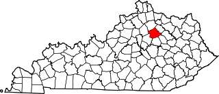
This is a list of the National Register of Historic Places listings in Harrison County, Kentucky.

This is a list of the National Register of Historic Places listings in Fleming County, Kentucky.

This is a list of the National Register of Historic Places listings in Boyle County, Kentucky.

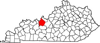
This is a list of the National Register of Historic Places listings in Daviess County, Kentucky.

This is a list of the National Register of Historic Places listings in Barren County, Kentucky.
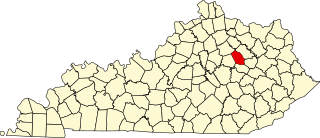
This is a list of the National Register of Historic Places listings in Bourbon County, Kentucky.

This is a list of the National Register of Historic Places listings in Clark County, Kentucky.
This is a list of the National Register of Historic Places listings in Breckinridge County, Kentucky.

This is a list of the National Register of Historic Places listings in Spencer County, Kentucky.

This is a list of the National Register of Historic Places listings in Simpson County, Kentucky.

This is a list of the National Register of Historic Places listings in Scott County, Kentucky.
This is a list of the National Register of Historic Places listings in Montgomery County, Kentucky.

This is a list of the National Register of Historic Places listings in Madison County, Kentucky.

This is a list of the National Register of Historic Places listings in Mercer County, Kentucky.

This is a list of the National Register of Historic Places listings in Henry County, Kentucky.

This is a list of the National Register of Historic Places listings in Hancock County, Kentucky.

This is a list of the National Register of Historic Places listings in Lawrence County, Kentucky.

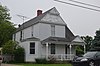
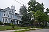
This is intended to be a complete list of the properties and districts on the National Register of Historic Places in Kenton County, Kentucky, United States. The locations of National Register properties and districts for which the latitude and longitude coordinates are included below, may be seen in a map.