Typhoon Meranti,known in the Philippines as Typhoon Ferdie,[1] was one of the most intense tropical cyclones on record. Meranti,which later impacted Batanes,Taiwan,and Fujian in mid September 2016,formed as a tropical depression on September 8 near the island of Guam. Tracking to the west northwest,Meranti gradually intensified until September 11,at which point it began a period of rapid intensification. Continuing to rapidly intensify,it became a super typhoon early on September 12,as it passed through the Luzon Strait,ultimately reaching its peak intensity on September 13 with 1-minute sustained winds of 315km/h (195mph). Shortly afterwards,it passed directly over the island of Itbayat. Meranti passed to the south of Taiwan as a super typhoon,and began weakening steadily as a result of land interaction. By September 15,it struck Fujian Province as a Category 2-equivalent typhoon,becoming the strongest typhoon on record to impact the province. Upon moving inland,rapid weakening ensued and Meranti became extratropical the next day,dissipating shortly afterwards after it passed to the south of the Korean Peninsula.
The island of Itbayat sustained a direct hit from the super typhoon near its peak intensity,severing communications from the island for several days. However,no fatalities were reported on the island. The typhoon caused ₱244.99million (US$5.16million) in damage on the island. However,the most costly and direct impacts were felt in eastern China,where 45 people were killed from floods. Total economic cost in China reached ¥31.78billion (US$4.76billion). In total,Meranti caused US$4.79billion in damage and killed 47 people.
During its lifetime,Meranti broke or tied several meteorological records. With JTWC-estimated 1-minute sustained winds of 315km/h (195mph),Meranti is tied with Haiyan in 2013,Goni in 2020 and Surigae in 2021 as the strongest typhoon on record by wind speed. Additionally,in terms of 1-minute sustained winds,the storm's landfall on the island of Itbayat shortly after peak intensity ties it with Haiyan as the second strongest landfalling tropical cyclone on record,only behind Goni. The estimated pressure of 890mbar (26inHg) was also the lowest on record in the Western Pacific since Megi in 2010.
Meteorological history
This section needs expansion. You can help by adding to it. (August 2024)
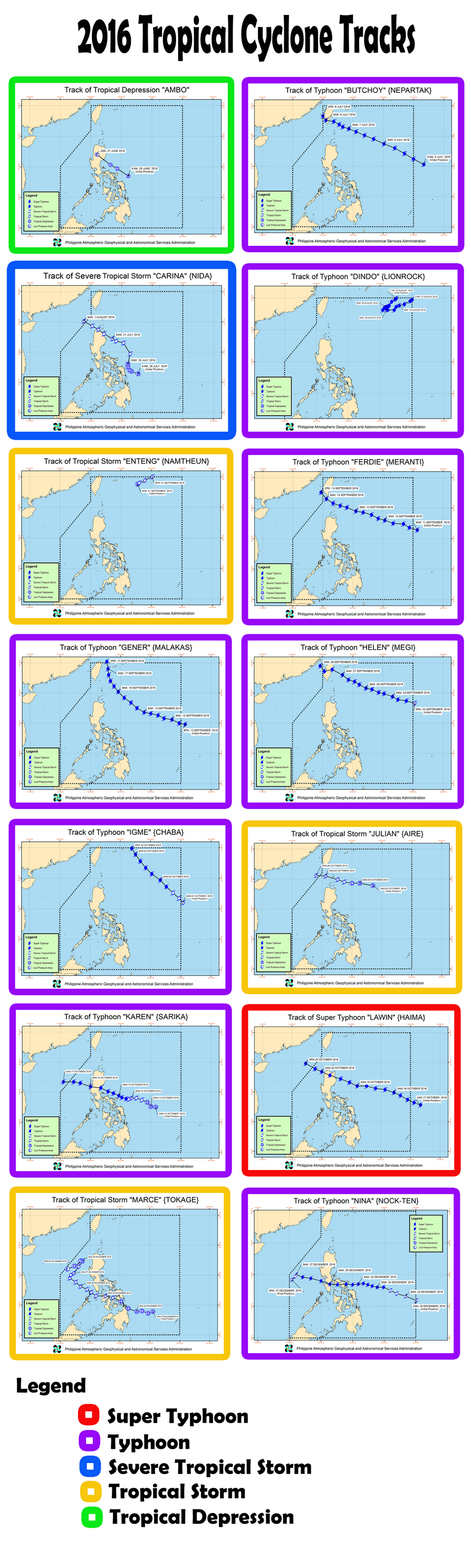
Map plotting the storm's track and intensity, according to the Saffir–Simpson scale
On September8, the Joint Typhoon Warning Center (JTWC)[nb 1] issued a Tropical Cyclone Formation Alert for an area of convection about 155km (96mi) west of Guam in the western Pacific Ocean. According to the agency, the circulation was rapidly consolidating alongside fragmented rainbands.[3] At 18:00UTC that night, the Japan Meteorological Agency (JMA)[nb 2] classified the system as a tropical depression.[5] On the next day, the JTWC classified it as Tropical Depression 16W. By that time, the nascent system was moving slowly west-northwestward through a region of low wind shear, steered by ridges to the north and southwest. Increasing but fragmented convection, or thunderstorms, was fueled by unusually warm water temperatures and outflow from the south.[6] At 06:00UTC on September10, the JMA upgraded the depression to Tropical Storm Meranti,[7] which meandered over its own track while consolidating.[8]
Northerly wind shear shifted the deepest convection to the south of Meranti's circulation,[9] although rainbands and a central dense overcast continued to evolve as the wind shear decreased.[10] By early on September11, the storm's movement was steady to the west-northwest, south of the ridge.[11] At 06:00UTC that day, the JMA upgraded Meranti to typhoon status,[12] and shortly thereafter the JTWC followed suit.[13] The storm's structure continued to improve, with increased outflow.[14] A small eye9km (5.6mi) across developed within the spiraling thunderstorms, signaling that Meranti was rapidly intensifying.[15] At 06:00UTC on September12, the JTWC upgraded Meranti to a super typhoon, with 1-minute maximum sustained winds of 240km/h (150mph).[16] Six hours later, the JTWC estimated 1-minute sustained winds of 285km/h (180mph), equivalent to Category 5 on the Saffir–Simpson scale, while noting "an extremely favorable environment", and that the eye became even more symmetric within intense convection.[17] Outflow enhanced by a strong anticyclone over Meranti fueled the intensification,[18] and the typhoon peaked in intensity on September13 while passing through the Luzon Strait.
Typhoon Meranti due south of Taiwan on September 14
The JMA estimated peak 10-minute sustained winds of 220km/h (140mph) and a minimum barometric pressure of 890hPa (mbar; 26.28inHg),[19] while the JTWC estimated peak 1-minute sustained winds of 315km/h (195mph).[20] Based on the JMA pressure estimate, Meranti was among the most intense tropical cyclones. The JTWC wind estimate made Meranti the strongest tropical cyclone by wind speed worldwide in 2016, surpassing Cyclone Winston, which had peak sustained winds of 285km/h (180mph) when it struck Fiji in February.[21] Late on September 13, the storm made landfall on the 83km2 (32sqmi) island of Itbayat in the Philippine province of Batanes shortly after attaining its peak intensity, with 1-minute sustained winds of 305km/h (190mph).[22][23] A weather station on the island measured 10-minute sustained winds of 180km/h (110mph) and a concurrent pressure of 933.6mbar (27.57inHg) around 17:00UTC before being destroyed. Just south of Itbayat in Basco, sustained winds peaked at 144km/h (89mph), gusts reached 252km/h (157mph), and a minimum pressure of 935.4mbar (27.62inHg) was observed in the eyewall.[24]
At around 03:15 CST on September 15 (19:15 UTC on September 14), Meranti slammed into the Xiang'an District, Xiamen, Fujian, with measured 2-minute sustained winds of 173km/h (107mph),[25] making it the second strongest typhoon ever to make landfall in Fujian Province.[26]
Impact
Philippines
The eye of Meranti passed directly over Itbayat at 17:35UTC on September13.
Meranti struck the northernmost Philippine province of Batanes at peak strength, passing directly over the island of Itbayat; the island was left isolated after communications were lost during the storm on September14.[27] From text messages received by family members, residents in Itbayat reported their stone homes to be swaying during the height of the typhoon.[28] Assessments as of September17 indicated that 292homes were destroyed and 932 were damaged across the Batanes. More than 10,000people were affected by the storm, with many in dire need of water. A state of calamity was declared for the province on September15. Total damage exceeded an approximate total of ₱244.99million (US$5.16million) as of September 24.[27]
Government relief efforts reached Itbayat on September 18, reporting no casualties on the island.[29]
Taiwan
Tree damage in Birth Day Park, Kaohsiung
At least two people were killed in Taiwan.[30] Nearly 1million households lost power and 720,000 lost water supply.[31] Agricultural damage exceeded NT$850million (US$26.8million).[32] A small lighthouse in Taitung County collapsed and rough seas unmoored 10 vessels in Kaohsiung Harbor.[28]
Mainland China
Trees and billboards were destroyed after Typhoon Meranti, Xiamen.
Typhoon Meranti wrought extensive damage across Fujian and Zhejiangprovinces. In Fujian, the storm killed 18 people and left 11 others missing. Typhoon-force winds and flash floods caused tremendous damage, leaving ¥31.78billion (US$4.76billion) in economic losses and killed 45 people across East China.[33] In Fujian, the cities of Xiamen, Quanzhou and Zhangzhou were left paralyzed in Meranti's wake,[34] while flash floods in Yongchun County destroyed an 871-year-old bridge that was classified as a protected heritage site.[28][35] Flooding in Zhejiang claimed at least ten lives and left four others missing. At least 902 homes collapsed and 1.5million people in the province were affected.[34]
During the 49th annual session from the ESCAP/WMO Typhoon Committee during February 2017, the name Meranti was retired from the rotating lists of names. In March 2018, the Typhoon Committee chose Nyatoh as its replacement name.[36]
↑The Joint Typhoon Warning Center is a joint United States Navy– United States Air Force task force that issues tropical cyclone warnings for the western Pacific Ocean and other regions.[2]
This page is based on this Wikipedia article Text is available under the CC BY-SA 4.0 license; additional terms may apply. Images, videos and audio are available under their respective licenses.


