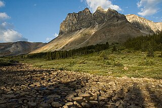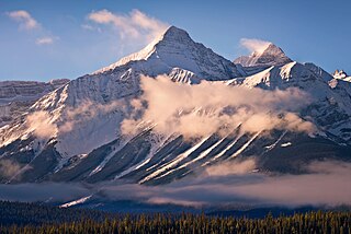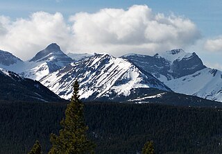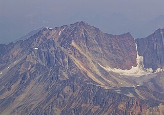
Mount Columbia is a mountain located in the Winston Churchill Range of the Rocky Mountains. It is the highest point in Alberta, Canada, and is second only to Mount Robson for height and topographical prominence in the Canadian Rockies. It is located on the border between Alberta and British Columbia on the northern edge of the Columbia Icefield. Its highest point, however, lies within Jasper National Park in Alberta.

Mount Lyell is a mountain on the Alberta–British Columbia border in western Canada. Comprising five distinct summits, Mount Lyell reaches a height of 3,498 m (11,476 ft). The mountain was named by James Hector in 1858 in recognition of Scottish geologist Sir Charles Lyell.

Mount Patterson is a peak in the Waputik Range of the Canadian Rockies. It is located within Banff National Park in Alberta of Western Canada. Mount Patterson stands across the Mistaya River Valley from Mount Weed, and both are prominent features seen from the Icefields Parkway. Its nearest higher peak is Howse Peak, 10.14 km (6.30 mi) to the northwest.

Andy Good Peak is located just south of Crowsnest Pass on the Canadian provincial boundary between Alberta and British Columbia on the Continental Divide. It was named in 1916 after Andy Good, a hotel owner in nearby Crowsnest Pass whose bar straddled the provincial border.

Mount Coulthard is a mountain straddling the border between Alberta and British Columbia in Canada. It is part of the Flathead Range which is a subset of the Canadian Rockies. The mountain is set on the Continental Divide, in Castle Wildland Provincial Park. It is situated in the Crowsnest Pass area and can be seen from Highway 3, the Crowsnest Highway.

Commonwealth Peak is a 2,775-metre (9,104-foot) mountain summit in the Spray Mountains, a sub-range of the Canadian Rockies in Alberta, Canada. The mountain is situated in Peter Lougheed Provincial Park. Its nearest higher peak is Mount Birdwood, 1.0 km (0.62 mi) to the west. Both can be seen from Alberta Highway 742, also known as Smith-Dorrien/Spray Trail in Kananaskis Country.

Bertha Peak is a 2,454-metre (8,051-foot) mountain summit located in Waterton Lakes National Park, in the Canadian Rockies of Alberta, Canada. It is situated behind the Waterton townsite. Its nearest higher peak is Mount Alderson, 2.0 km (1.2 mi) to the southwest. Bertha Lake lies at the southern foot of the peak, with Mount Richards on the opposite side of the lake. Mount Crandell lies to the north.

Mount Tekarra is a 2,694-metre (8,839-foot) mountain summit located in the Athabasca River valley of Jasper National Park, in the Canadian Rockies of Alberta, Canada. It is situated at the northwest end of the Maligne Range and is visible from Jasper and the Icefields Parkway. The nearest higher neighbor is The Watchtower, 7.0 km (4.3 mi) to the east.

Mount Outram is a 3,245-metre (10,646-foot) mountain summit located in the Howse River Valley of Banff National Park, in the Canadian Rockies of Alberta, Canada. Its nearest higher peak is Mount Forbes, 4.37 km (2.72 mi) to the southwest. Glacier Lake is situated 4.0 km (2.5 mi) to the north, and the Sir James Glacier lies below the south aspect of the peak. Mount Outram can be seen from the Icefields Parkway southwest of Saskatchewan Crossing, with optimum photography conditions in morning light.

Manx Peak is a 3,044-metre (9,987 ft) mountain summit located in Jasper National Park, in the Trident Range of the Canadian Rockies of Alberta, Canada. The town of Jasper is situated 14 kilometres (8.7 mi) to the north-northeast. Circus Valley lies at the south side of the mountain, and the northeast aspect towers above the head of the valley of Whistlers Creek. Its nearest higher peak is Mount Estella, 1.8 km (1.1 mi) to the southwest, and Terminal Mountain lies 2.0 km (1.2 mi) to the east. The peak is composed of sedimentary rock laid down from the Precambrian to the Jurassic periods and pushed east and over the top of younger rock during the Laramide orogeny.

Chinook Peak is a 2,591-metre (8,501-foot) mountain summit located in the Canadian Rockies of Alberta, Canada.

Mount Tecumseh is a 2,547-metre-high (8,356 ft) mountain summit located in the Canadian Rockies of Alberta, Canada.

Sentry Mountain is a 2,435-metre (7,989-foot) summit located in the Canadian Rockies of Alberta, Canada.

Mount Wardle is a 2,805-metre (9,203-foot) mountain summit located in British Columbia, Canada.

Mount Verendrye is a 3,086-metre (10,125-foot) mountain summit located in British Columbia, Canada.

Mount McLaren is a 2,301-metre (7,549-foot) mountain summit located in Alberta, Canada.

Mount Head is a 2,782-metre (9,127-foot) mountain summit located in Alberta, Canada.

Cairngorm is a 2,610-metre (8,563 ft) mountain located in Alberta, Canada.

Mount Estella is a 3,069-metre (10,069-foot) mountain summit in Alberta, Canada.

Majestic Mountain is a 3,086-metre (10,125-foot) summit in Alberta, Canada.


