
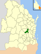
The Shire of Adavale is a former local government area in the south-east of Queensland, Australia, centred on the town of Adavale. It existed from 1879 to 1930.
The Shire of Adavale is a former local government area in the south-east of Queensland, Australia, centred on the town of Adavale. It existed from 1879 to 1930.
On 11 November 1879, the Murweh Division was created as one of 74 divisions within Queensland under the Divisional Boards Act 1879. [1] On 5 February 1889, the western part of Murweh Division was separated to create the new Adavale Division. [2] [3] [4]
The Adavale Divisional Board met for the first time on 26 May 1889 and Mr E. B. Learmouth was appointed chairman. [5]
The divisional board hall and offices were constructed in Adavale in 1889. [6]
With the passage of the Local Authorities Act 1902, the Adavale Division became the Shire of Adavale on 31 March 1903. [1] [7]
On 17 July 1930, the shire was abolished, and its region split between the new Shire of Quilpie, the Shire of Murweh, the Shire of Isisford and the Shire of Barcoo. [7] [8] [9]

The population of the shire was: [12]
| Year | Population |
|---|---|
| 1889 | 520 |
| 1890 | 560 |
| 1891 | 947 |
| 1892 | 560 |
| 1893 | 560 |
| 1894 | 520 |
| 1895 | 500 |
| 1896 | 550 |
| 1897 | 500 |
| 1898 | 520 |
| 1899 | 550 |
| 1900 | 500 |
| 1901 | 950 |
| 1902 | 550 |
| 1903 | 575 |
| 1904 | 570 |
| 1905 | 570 |
| 1906 | 590 |
| 1907 | 650 |
| 1908 | 670 |
| 1909 | 730 |
| 1910 | 760 |
| 1911 | 1,358 |
| 1912 | 1,358 |
| 1913 | 1,358 |
| 1914 | 1,358 |
| 1915 | 1,760 |
| 1916 | 1,900 |
| 1917 | 1,540 |
| 1918 | 1,540 |
| 1919 | 1,912 |
| 1920 | 1,429 |
| 1921 | 1,429 |
| 1922 | 1,429 |
| 1923 | 1,500 |
| 1924 | 1,497 |
| 1925 | 1,520 |
| 1926 | 1,760 |
| 1927 | 1,760 |
| 1928 | 2,227 |
| 1929 | 2,130 |
| 1930 | 2,000 |

Quilpie is a rural town and locality in the Shire of Quilpie, Queensland, Australia. In the 2021 census, the locality of Quilpie had a population of 530 people.

The Shire of Gayndah was a local government area located in the northern catchment of the Burnett River, Queensland, Australia. The shire covered an area of 2,709.3 square kilometres (1,046.1 sq mi), and existed as a local government area from 1866 until 2008, when it amalgamated with several other shires to form the North Burnett Region.
The Shire of Nanango was a local government area located in the South Burnett region of Queensland, Australia, about 100 kilometres (62 mi) northwest of the capital, Brisbane. The Shire covered an area of 1,738.4 square kilometres (671.2 sq mi), and existed as a local government entity from 1879 until 2008, when it amalgamated with several other councils in the South Burnett area to become the South Burnett Regional Council.

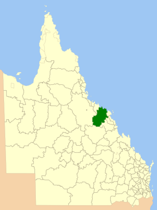
The Shire of Murweh is a local government area in the Maranoa district, which is part of South West Queensland, Australia. The administrative centre and largest town in the shire is Charleville.
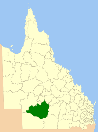
The Shire of Quilpie is a local government area in South West Queensland, Australia. It covers an area of 67,415 square kilometres (26,029 sq mi), and its administrative centre is the town of Quilpie.
The Shire of Bowen was a local government area in the North Queensland region of Queensland, Australia. The shire, administered from the town of Bowen, covered an area of 21,184.4 square kilometres (8,179.3 sq mi), and existed as a local government entity from 1879 until 2008, when it amalgamated with the Shire of Whitsunday to form the Whitsunday Region.
The Shire of Carpentaria is a local government area in Far North Queensland, Australia on the Gulf of Carpentaria, for which it is named.

The Shire of Tiaro was a local government area in the Wide Bay–Burnett region of Queensland, Australia, between the regional cities of Gympie and Hervey Bay about 220 kilometres (137 mi) north of the state capital, Brisbane. The shire covered an area of 2,185.3 square kilometres (843.7 sq mi), and existed as a local government area from 1879 until 2008, when it was dissolved and split between two new local government areas, the Gympie Region and the Fraser Coast Region.

The City of Redcliffe is a former local government area in South East Queensland, Australia. In 2008, it was amalgamated with the Shires of Pine Rivers and Caboolture to create Moreton Bay Region, later renamed City of Moreton Bay. It was in the northern part of the County of Stanley, with a total area of 38.1 square kilometres (14.7 sq mi) and a population of 51,174 people in the 2006 census.
The Shire of Tingalpa was a local government area in the south-eastern suburbs of Brisbane, Queensland, Australia. The shire, administered from Mount Cotton, covered an area of 120 square miles (311 km2), and existed as a local government entity from 1879 until 1949.
Adavale is a rural town and locality in the Shire of Quilpie, Queensland, Australia. In the 2021 census, the locality of Adavale had a population of 72 people.
The Shire of Beenleigh is a former local government area in the south-east of Queensland, Australia, centred on the town of Beenleigh. It existed from 1879 to 1949.

The Shire of Cleveland is a former local government area in the south-east of Queensland, Australia, centred on the town of Cleveland beside Moreton Bay.
The Shire of Waterford is a former local government area in the south-east of Queensland, Australia, centred on the town of Waterford. It existed between 1879 and 1948.

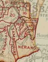
The Shire of Nerang was a local government area in South East Queensland, Australia. The shire existed as a local government entity from 1879 until 1949.

The Town of Southport was a local government area in South East Queensland, Australia.

The City of Gympie is a former local government area in the south-east of Queensland, Australia, responsible for governing Gympie.
The Town of Charleville is a former local government area in the Maranoa area of Queensland, Australia. It existed from 1894 to 1960.

The Town of Hughenden is a former local government area in North Queensland, Australia.

The Shire of Normanby is a former local government area in the south-east of Queensland, Australia. Its administrative centre was in Harrisville.