Edmondson is a town in Crittenden County, Arkansas, United States. The population was 427 at the 2010 census.

Reed is a town in Desha County, Arkansas, United States. The population was 141 at the 2010 census.

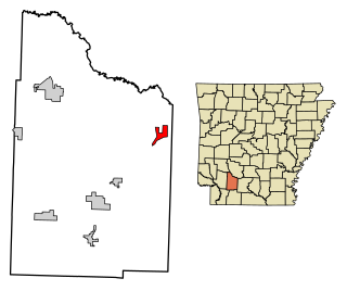
LaGrange is a town in Lee County, Arkansas, United States. The population was 89 at the 2010 census, down from 122 at the 2000 census.
Bluff City is an unincorporated town in Nevada County, Arkansas, United States. The population was 158 at the 2000 census. It is part of the Hope Micropolitan Statistical Area.
Thornton is a village in Cook County, Illinois, United States and a south suburb of Chicago. The population was 2,386 at the 2020 census. Thornton is home to the Thornton Quarry, one of the largest quarries in the world.

Pace is a town in Bolivar County, Mississippi, United States. Per the 2020 census, the population was 183.

Falcon is a town in Quitman County, Mississippi. The population was 116 at the 2020 census.

Baker is an inactive incorporated village in Stoddard County, Missouri, United States. Per the 2020 census, the population was 3. As of 2017, it is Missouri's smallest incorporated settlement.
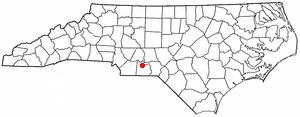
Ansonville is a town in Anson County, North Carolina, United States. The population was 440 at the 2020 census. The town has a total area of 1.5 square miles (3.8 km2), all land. It is located on the northern edge of Anson County, about a mile west of the Pee Dee River.

Hassell is a town in Martin County, North Carolina, United States. The population was 84 at the 2010 census.

Fountain is a town in Pitt County, North Carolina, United States. The population was 427 at the 2010 census. The town is a part of the Greenville Metropolitan Area located in North Carolina's Inner Banks region.

Horace is a city in Cass County, North Dakota, United States. The population was 3,085 at the 2020 census.
Bedford Heights is a city in Cuyahoga County, Ohio, United States. The population was 11,020 at the 2020 census. A suburb of Cleveland, it is a part of the Cleveland metropolitan area.
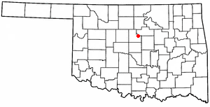
Langston is a town in Logan County, Oklahoma, United States, and is part of the Oklahoma City Metropolitan Statistical Area. The population was 1,619 as of the 2020 United States census. Langston is home to Langston University, the only historically black college in Oklahoma.

Meridian is a town in eastern Logan County, Oklahoma, United States. The population was 38 at the 2010 census, a decline of 29.5 percent from the figure of 54 in 2000. It is part of the Oklahoma City Metropolitan Statistical Area. The community name was chosen because of its location on the Indian meridian.

Boynton is a town in Muskogee County, Oklahoma, United States. The population was 248 at the 2010 census, a 9.5 percent decline from the figure of 274 recorded in 2000.

Forest Park is a town in Oklahoma County, Oklahoma, United States, and a part of the Oklahoma City metropolitan area. The population was 998 at the 2010 census.

Vance is a town in Orangeburg County, South Carolina, United States. The population was 170 at the 2010 census.

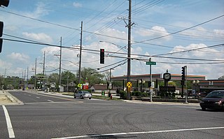
Wakefield is an incorporated town in Sussex County, Virginia, United States. Per the 2020 census, the population was 729.

Northfork is a town in McDowell County, West Virginia, United States, located on U.S. Route 52 between Welch and Bluefield.