Carmo do Cajuru | |
|---|---|
Municipality | |
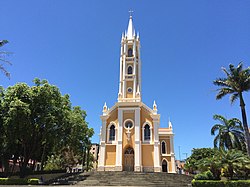 Nossa Senhora do Carmo church | |
 Flag  Seal | |
| Nickname: Cajuru | |
 Carmo do Cajuru Location in Brazil | |
| Coordinates: 20°11′2″S44°46′15″W / 20.18389°S 44.77083°W | |
| Country | |
| Region | Southeast |
| State | Minas Gerais |
| Mesoregion | Oeste de Minas |
| Area | |
• Total | 175,678 sq mi (455,005 km2) |
| Elevation | 231,600 ft (70,600 m) |
| Population (2020 [1] ) | |
• Total | 22,693 |
| Time zone | UTC−3 (BRT) |
Carmo do Cajuru is a municipality in the state of Minas Gerais in the Southeast region of Brazil. [2] [3] [4] [5]
