Congonhal | |
|---|---|
Municipality | |
 | |
 Flag  Seal | |
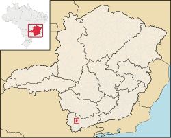 Location of Congonhal in Minas Gerais | |
| Country | |
| Region | Southeast |
| State | Minas Gerais |
| Mesoregion | Sud/Sudoeste de Minas |
| Government | |
| • Mayor | Rubens Vilela dos Santos Junior (Republicans) |
| Area | |
• Total | 79.199 sq mi (205.125 km2) |
| Elevation | 2,828 ft (862 m) |
| Population (2020 [1] ) | |
• Total | 12,082 |
| Time zone | UTC−3 (BRT) |
Congonhal is a municipality in the state of Minas Gerais in the Southeast region of Brazil. [2] [3] [4] [5] Its population in 2017 was of 11.706 inhabitants according to estimated data from IBGE.
