Kottayam is one of 14 districts in the Indian state of Kerala. Kottayam district comprises six municipal towns: Kottayam, Changanassery, Pala, Erattupetta, Ettumanoor, and Vaikom. It is the only district in Kerala that does not border either the Arabian Sea or another Indian state.

Pala is a municipality in the Kottayam district of Kerala, India. It is located 28 km (17.4 mi) north of the district headquarters in Kottayam and about 167 km (103.8 mi) north of the state capital Thiruvananthapuram. As per the 2011 Indian census, Pala has a population of 22,056 people, and a population density of 1,373/km2 (3,560/sq mi).

Meenachil is the north-eastern region of Kottayam district in Kerala, south India. The name originates from Meenakshi, the Hindu Goddess. Pala is the main city in Meenachil. The arterial river of the district is also named Meenachil.

Thodupuzha is a municipality and Taluka in the Idukki district of Kerala, India. It is located 55 km (34.2 mi) west of the district headquarters in Painavu and about 192 km (119.3 mi) north of the state capital Thiruvananthapuram. As per the 2011 Indian census, Thodupuzha has a population of 52,045 people, and a population density of 1,468/km2 (3,800/sq mi).

Kanjirappally is a taluk and a town in Kottayam district situated about 38 km (24 mi) away from the district capital, in the state of Kerala, in southwestern India.
Mundakayam, is a town in Kanjirappally Taluk in the Kottayam District of Kerala. It is the doorway to the high ranges of southern Kerala, and is at the border of Kottayam and Idukki districts. The next nearest town, Kanjirappally, is 14 km (8.7 mi) & Erumely is 12 km from Mundakayam. Mundakayam has rubber plantations, and greenery. The Manimala River runs through Mundakayam. It is located 48 km east of the district headquarters at Kottayam and 148 km from the state capital, Thiruvananthapuram. The name Mundakayam is said to be derived from the Mundi cranes that used to be seen along the Manimala River banks.

Perunilam is a small Village/hamlet in Meenachil Taluk in Kottayam district of Kerala State, India. It comes under Poonjar Panchayath. It belongs to South Kerala Division. It is located 44 km East from District headquarters Kottayam. 2.5 km from Erattupetta. 149 km from State capital Thiruvananthapuram. Main agricultural crop is rubber. The popular Christian Pilgrim Centre Bharananganam and St. George's Syro-Malabar Catholic Forane Church, Aruvithura is near to Perunilam. Perunilam Kurishupally is located in Perunilam. Malayalam is the Local Language here. Kottayam Rail Way Station is major railway station 40 km near to Perunilam.

The MeenachilRiver or Meenachilaar, also known as Kavanar, Valanjar, is a river in Kerala. It is one of the most treacherous rivers in Kerala due to its flash floods, heavy undercurrents and woods and debris it carries from the mountains. It flows through the heart of Kottayam district, Kerala state in southern India. 78 km long, originates in the Western Ghats main tributaries are Theekoy aaru from Vagamon hills, Poonjar Aaru and Chittar, flowing westward through the city of Kottayam and other towns like Poonjar, Teekoy, Erattupetta, Bharananganam, Pala, Mutholy, Cherpunkal, Kidangoor and Kumarakom before emptying into the Vembanad Lake on the shore of the Indian Ocean.

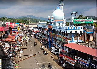
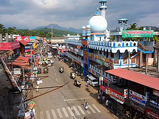
Erattupetta is a municipality in the Kottayam district of Kerala, India. It is located 29 km (18.0 mi) east of the district headquarters in Kottayam and about 133 km (82.6 mi) north of the state capital Thiruvananthapuram. As per the 2011 Indian census, Erattupetta has a population of 34,814 people, and a population density of 1,906/km2 (4,940/sq mi).
Teekoy is a southern Indian village, situated in the eastern part of Kottayam district in Kerala state.

Poonjar is a small Indian town located on the eastern side of Kottayam district in Kerala state, India. Before the independence of India, Poonjar had been the part of Travancore princely state. Erattupetta, Teekoy, Bharananganam, and Vagamon are the nearest towns and villages of Poonjar. Taluk Headquarters, Pala is 18 kilometres away from Poonjar, Kanjirapally is 22.6 kilometres away from Poonjar and Thodupuzha is 34 kilometeres away from Poonjar.

Pinnakkanadu is a town located about 40 km East of Kottayam on Kanjirappally-Erattupetta Road, in Kottayam district of Kerala, India. It is 8 km North of Kanjirappally towards Erattupetta, 7 km East of Paika and 15 km West of Mundakkayam.

Kadanad is a Panchayat and Village in Meenachil Taluk of Kottayam district in the Indian state of Kerala.
Melukavu (Melukavumattom) is a village in the eastern part of Meenachil Taluk in Kottayam District of Kerala state, India.

Chemmalamattam, is a village in the Kottayam district of Kerala, India. It is located about 40 km east of Kottayam and 19 km west of Mundakkayam and is 9.5 km north of Kanjirappally towards Erattupetta.
'St. George's College Aruvithura, Erattupetta' is a government-aided college affiliated to the Mahatma Gandhi University. It is located in Erattupetta, Kottayam District in Kerala, India. In 4th cycle of NAAC accreditation, College is graded A++. College is managed by St. George's Syro-Malabar Catholic Forane Church, Aruvithura and is named after the patron saint of the church.
Neeloor is an agriculture-oriented rural village in the Taluk of Meenachil, Kottayam district, Kerala. The village is situated on the hill sides of Noorumala, Ellumpuram and Perumkunnu which are hills on the borders of Kottayam district and the neighboring Idukki district. Earlier the place was known as "Kallidapootha".

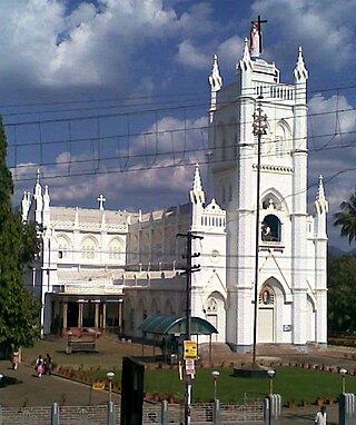
St. George's Syro-Malabar Catholic Forane Church, Aruvithura, more familiarly known as Aruvithura Church, is a Syro-Malabar Catholic church located at Aruvithura, a locality within the Erattupetta municipality in Kottayam district, Kerala, India. Traditionally, it is believed that the Syrian Catholic Church at Aruvithura was established in the 1st century.
Elappunkal is a village close to Erattupetta in the Kottayam district of Kerala state in India. It is situated on the Erattupetta–Thodupuzha state highway route.
Vazhikadavu Weir is a diversion dam of concrete gravity type constructed across Meenachil River at Teekoy Village in Kottayam District in Kerala, India. The Vazhikkadavu weir is constructed as an augmentation scheme to Idukki HEP. The dam has a height of 10.20 metres (33.5 ft) from the deepest foundation and a length of 58 metres (190 ft).


