This is a list of the National Register of Historic Places listings in Washington County, Arkansas.

This is a list of the National Register of Historic Places listings in Benton County, Arkansas.

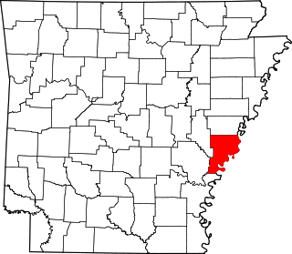
This is a list of the National Register of Historic Places listings in Desha County, Arkansas.

This is a list of the National Register of Historic Places listings in Cross County, Arkansas.
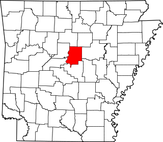
This is a list of the National Register of Historic Places listings in Faulkner County, Arkansas.

This is a list of the National Register of Historic Places listings in Garland County, Arkansas.

This is a list of the National Register of Historic Places listings in Dallas County, Arkansas.

This is a list of the National Register of Historic Places listings in Clay County, Arkansas.

This is a list of the National Register of Historic Places listings in Independence County, Arkansas.
This is a list of the National Register of Historic Places listings in Logan County, Arkansas.

This is a list of the National Register of Historic Places listings in Nevada County, Arkansas.

This is a list of the National Register of Historic Places listings in Ouachita County, Arkansas.
This is a list of the National Register of Historic Places listings in Phillips County, Arkansas.

This is a list of the National Register of Historic Places listings in Mississippi County, Arkansas.

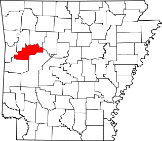
This is a list of the National Register of Historic Places listings in Polk County, Arkansas.

This is a list of the National Register of Historic Places listings in Pope County, Arkansas.

This is a list of the National Register of Historic Places listings in Searcy County, Arkansas.

This is a list of the National Register of Historic Places listings in Sebastian County, Arkansas.

This is a list of the National Register of Historic Places listings in Stone County, Arkansas.

This is a list of the National Register of Historic Places listings in White County, Arkansas.