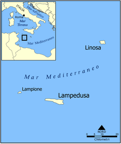
This is a list of islands of Italy. There are nearly 450 islands in Italy, including islands in the Mediterranean Sea (including the marginal seas: Adriatic Sea, Ionian Sea, Libyan Sea, Ligurian Sea, Sea of Sardinia, Tyrrhenian Sea, and inland islands in lakes and rivers. The largest island is Sicily with an area of 25,711 km2 (9,927 sq mi). The outlying islands of Italy make up an official region of Insular Italy with an area of 49,801 km2 (19,228 sq mi). [1] [2]
Contents
- Insular Italy
- Adriatic coast of Apulia
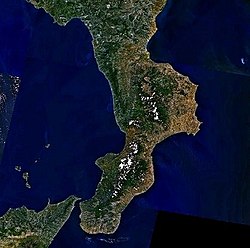
- Calabria
- Campanian Archipelago
- Cheradi Islands
- Grado Lagoon
- Gulf of La Spezia
- Ligurian Islands
- Marano Lagoon
- Pedagne peninsula
- Pontine Islands
- Porto Cesareo lagoon
- Sardinia
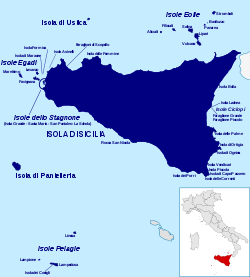
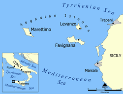
- Sicily
- Tremiti Islands
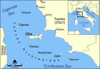
- Tuscan Archipelago
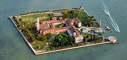
- Venetian Lagoon
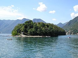
- Islands in lakes and rivers
- See also
- References
- External links