The Gums, Queensland

Last updated

The Gums
Australia Queensland location map.svg
Red pog.svg
The Gums
Coordinates: 27°20′25″S150°12′18″E / 27.3402°S 150.205°E / -27.3402; 150.205 (The Gums (town centre))
Country Australia
State Queensland
LGA
Location
Government
   State electorate
   Federal division
Area
  Total
1,084.4 km2 (418.7 sq mi)
Population
  Total165 (2021 census) [1]
  Density0.1522/km2 (0.3941/sq mi)
Time zone UTC+10:00 (AEST)
Postcode
4406
Localities around The Gums
Barramornie Condamine Wieambilla
Hannaford The Gums Tara
Hannaford Moonie Moonie

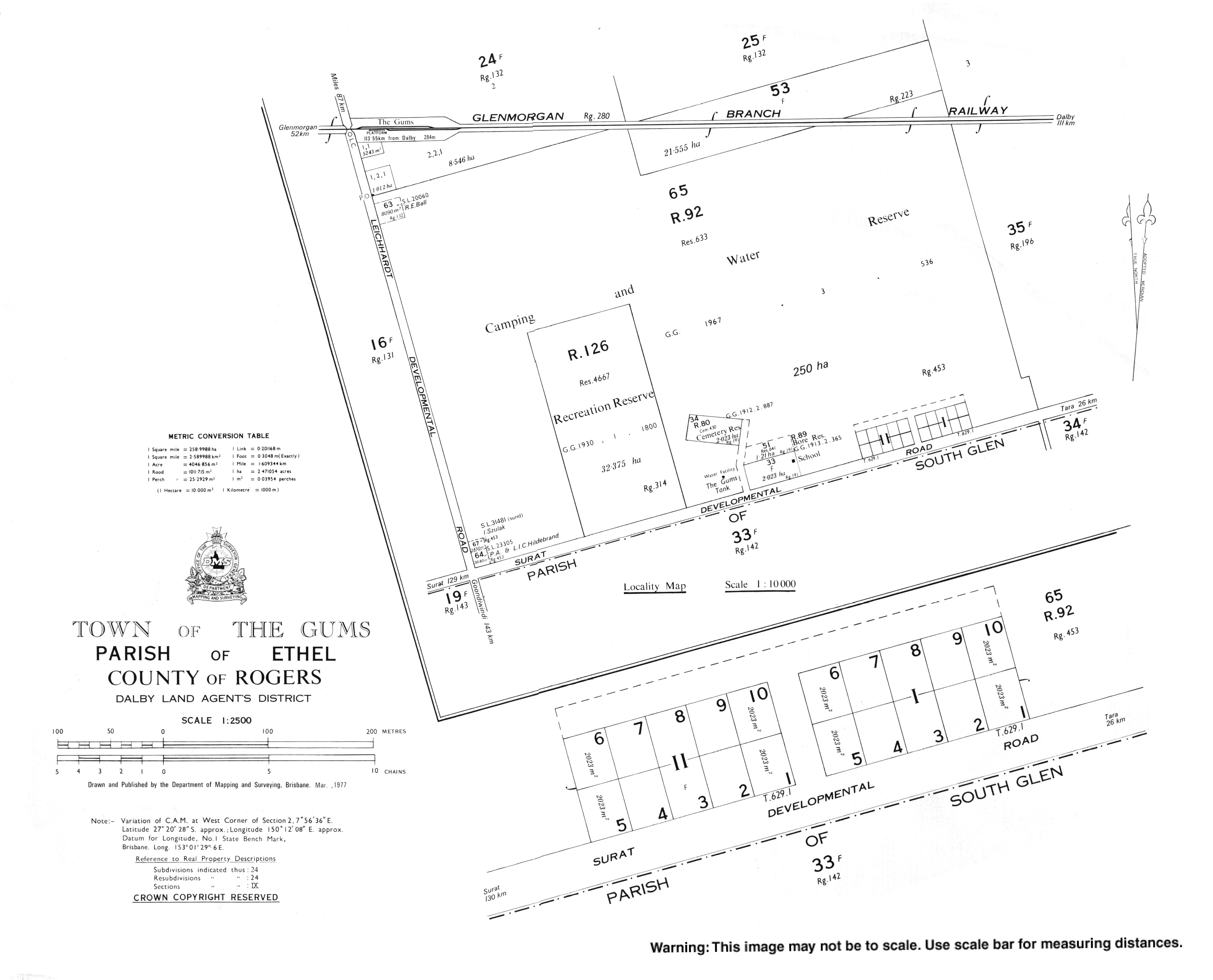
The Gums is a rural town and locality in the Western Downs Region, Queensland, Australia. [2] [3] In the 2021 census, the locality of The Gums had a population of 165 people. [1]

Contents

Geography

The town is at the junction of the Leichhardt Highway and the Surat Developmental Road [4] on the Darling Downs, 329 kilometres (204 mi) west of the state capital, Brisbane.

The Glenmorgan railway line passes through the locality from east (Tara) to west (Hannaford). In 2017, there were three stations serving the locality: The Gums railway station (which is north of but close to the town, 27°19′43″S150°11′07″E / 27.3286°S 150.1853°E / -27.3286; 150.1853 (The Gums railway station) ), [5] Cabawin railway station ( 27°19′46″S150°15′01″E / 27.3294°S 150.2503°E / -27.3294; 150.2503 (Cabawin railway station) ), [6] and South Glen railway station ( 27°18′19″S150°19′00″E / 27.3053°S 150.3167°E / -27.3053; 150.3167 (South Glen railway station) ). [7] However, in 2019, only The Gums railway station was still operational. [8]

The land use is predominantly grazing on native vegetation with some crop growing. [9]

History

A cemetery was established in 1905. [10]

South Glen Provisional School opened in 1913 and closed circa 1921. [11]

The Gums State School opened on 27 January 1913. [11]

Circa February 1914, a Methodist church was opened at The Gums. [12] [13]

The name of the town was derived from The Gums railway station, on the Glenmorgan railway line from Dalby to Glenmorgan, [14] used from 1924. [2] [3]

Cabawin Provisional School opened on 30 January 1934. In 1952, it became Cabawin State School. It closed in 1960. [11] It was on Cabawin South Road ( 27°21′52″S150°15′30″E / 27.3644°S 150.2582°E / -27.3644; 150.2582 (Cabawin State School) ). [15]

Demographics

In the 2006 census, the locality of The Gums and the surrounding area had a population of 169 people. [16]

In the 2016 census, the locality of The Gums had a population of 159 people. [17]

In the 2021 census, the locality of The Gums had a population of 165 people. [1]

Education

The Gums State School, 2016 The Gums State School, 2016.jpg
The Gums State School, 2016

The Gums State School is a government primary (Prep-6) school for boys and girls at 12051 Surat Developmental Road ( 27°20′29″S150°11′58″E / 27.3414°S 150.1994°E / -27.3414; 150.1994 (The Gums State School) ). [18] [19] In 2017, the school had an enrolment of 22 students with 4 teachers (2 full-time equivalent) and 5 non-teaching staff (2 full-time equivalent). [20]

There are no secondary schools in The Gums. The nearest government secondary school is Tara Shire State College in Tara. [21]

Facilities

The Gums Cemetery, 2016 The Gums Cemetery, 2016.jpg
The Gums Cemetery, 2016
Headstone for Alexander Davison, first headmaster of The Gums State School, 2016 Alexander Davison headstone, The Gums Cemetery, 2016.jpg
Headstone for Alexander Davison, first headmaster of The Gums State School, 2016

The Gums Cemetery is on a laneway north of the Surat Developmental Road ( 27°20′21″S150°11′46″E / 27.3393°S 150.1960°E / -27.3393; 150.1960 (The Gums cemetery) ). [22] One of the headstones is for the first headmaster of The Gums State School, Alexander Davison who died on 7 November 1916.

References

  1. 1 2 3 Australian Bureau of Statistics (28 June 2022). "The Gums (SAL)". 2021 Census QuickStats. Retrieved 28 February 2023. OOjs UI icon edit-ltr-progressive.svg
  2. 1 2 "The Gums – town in Western Downs Region (entry 33961)". Queensland Place Names. Queensland Government . Retrieved 27 January 2020.
  3. 1 2 "The Gums – locality in Western Downs Region (entry 47751)". Queensland Place Names. Queensland Government . Retrieved 27 January 2020.
  4. "The Gums". australianexplorer.com. Archived from the original on 6 March 2012. Retrieved 15 October 2010.
  5. "The Gums – railway station in the Western Down Region (entry 33962)". Queensland Place Names. Queensland Government . Retrieved 25 December 2017.
  6. "Cabawin – railway station in the Western Downs Region (entry 5606)". Queensland Place Names. Queensland Government . Retrieved 26 December 2017.
  7. "South Glen – railway station in the Western Downs Region (entry 31458)". Queensland Place Names. Queensland Government . Retrieved 25 December 2017.
  8. "Layers: Locality; Road and rail; Railways; Railway stations". Queensland Globe. Queensland Government . Retrieved 6 June 2019.
  9. "Layers: Locality; Protected areas and forests; Land use". Queensland Globe. Queensland Government . Retrieved 3 December 2025.
  10. "Western Downs Cemeteries". Western Downs Regional Council. Retrieved 3 December 2025.
  11. 1 2 3 Queensland Family History Society (2010), Queensland schools past and present (Version 1.01 ed.), Queensland Family History Society, ISBN   978-1-921171-26-0
  12. "COUNTRY TELEGRAMS". The Brisbane Courier . No. 17, 511. Queensland, Australia. 27 February 1914. p. 4. Retrieved 15 November 2024 via National Library of Australia.
  13. "METHODIST SYNODS". The Brisbane Courier . No. 17, 721. Queensland, Australia. 31 October 1914. p. 16. Retrieved 10 September 2021 via National Library of Australia.
  14. "Location Profiles - Darling Downs-West Moreton Health Service District - GLENMORGAN". Queensland Government. 23 February 2010. Archived from the original on 20 March 2011. Retrieved 17 October 2010.
  15. "Queensland Two Mile series sheet 2m48" (Map). Queensland Government. 1955. Archived from the original on 24 April 2020. Retrieved 25 April 2020.
  16. Australian Bureau of Statistics (25 October 2007). "The Gums (Tara Shire) (State Suburb)". 2006 Census QuickStats. Retrieved 4 November 2008.
  17. Australian Bureau of Statistics (27 June 2017). "The Gums (SSC)". 2016 Census QuickStats. Retrieved 20 October 2018. OOjs UI icon edit-ltr-progressive.svg
  18. "State and non-state school details". Queensland Government. 9 July 2018. Archived from the original on 21 November 2018. Retrieved 21 November 2018.
  19. "The Gums State School". The Gums State School. 29 November 2020. Retrieved 28 September 2023.
  20. "ACARA School Profile 2017". Archived from the original on 22 November 2018. Retrieved 22 November 2018.
  21. "Queensland Globe". State of Queensland . Retrieved 24 April 2020.
  22. "Layers: Locality; Land parcel; Road and rail; Map labels". Queensland Globe. Queensland Government . Retrieved 3 December 2025.