
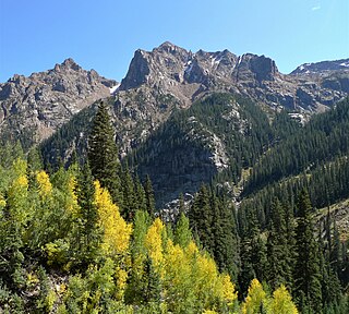
Sharkstooth Peak is a 12,468-foot-elevation (3,800-meter) mountain summit in Montezuma County, Colorado.

Star Peak is a 13,527-foot (4,123 m) summit on the shared border between Gunnison County and Pitkin County in Colorado, United States.

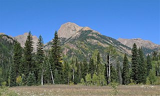
Organ Mountain is a 13,032-foot (3,972 m) summit in La Plata County, Colorado, United States.
Amherst Mountain is a 13,165-foot (4,013 m) summit in La Plata County, Colorado, United States.
Thunder Mountain is a 13,108-foot (3,995 m) summit in La Plata County, Colorado, United States.

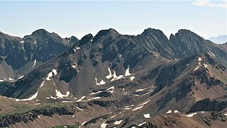
Irving Peak is a 13,216-foot (4,028 m) summit in La Plata County, Colorado, United States.
Hunts Peak is a 13,071-foot (3,984 m) mountain summit on the boundary shared by Fremont County and Saguache County, in Colorado, United States.

Baker Mountain is a 12,410-foot-elevation (3,780-meter) mountain summit in Grand County, Colorado, United States.

Otis Peak is a 12,486-foot-elevation (3,806-meter) mountain summit on the boundary shared by Grand County and Larimer County, in Colorado, United States.

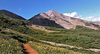
Hayden Peak is a 13,570-foot (4,136 m) mountain summit in Pitkin County, Colorado, United States.
Mount Moss is a 13,192-foot-elevation (4,021-meter) mountain summit on the common boundary shared by La Plata County and Montezuma County in Colorado.

Centennial Peak is a 13,062-foot-elevation (3,981-meter) mountain summit in Montezuma County, Colorado.

Diorite Peak is a 12,761-foot-elevation (3,890-meter) mountain summit on the common boundary shared by La Plata County and Montezuma County in Colorado.
Spiller Peak is a 13,123-foot-elevation (4,000-meter) mountain summit on the common boundary shared by La Plata County and Montezuma County in Colorado.

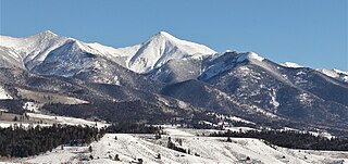
Star Mountain is a 12,941-foot (3,944 m) mountain summit in Lake County, Colorado, United States.
Taylor Peak is a 13,435-foot (4,095 m) summit on the boundary shared by Gunnison County and Pitkin County in Colorado, United States.

Pearl Mountain is a 13,379-foot (4,078 m) summit on the shared border between Gunnison County and Pitkin County in Colorado, United States.

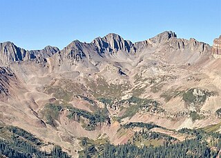
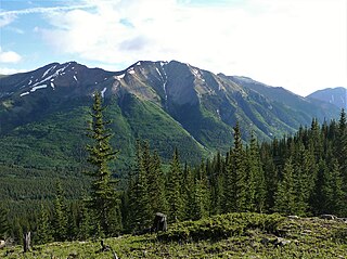
Grizzly Peak is a 13,738-foot-elevation (4,187-meter) mountain summit on the boundary shared by Dolores County and San Juan County, in Colorado, United States.

Aztec Mountain is a 13,310-foot (4,057 m) summit in La Plata County, Colorado, United States.
Ervin Peak is a 13,538-foot (4,126 m) mountain summit in Chaffee County, Colorado, United States.


