Santa Fe | |
|---|---|
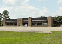 Santa Fe, Texas, Post Office | |
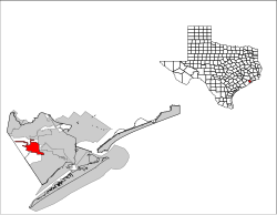 Location of Santa Fe, Texas | |
 Santa Fe Location of Santa Fe, Texas  Santa Fe Santa Fe (the United States) | |
| Coordinates: 29°22′50″N95°6′15″W / 29.38056°N 95.10417°W | |
| Country | United States |
| State | Texas |
| County | Galveston |
| Area | |
• Total | 17.08 sq mi (44.25 km2) |
| • Land | 16.89 sq mi (43.76 km2) |
| • Water | 0.19 sq mi (0.49 km2) |
| Elevation | 30 ft (9 m) |
| Population (2020) | |
• Total | 12,735 |
| • Density | 750/sq mi (290/km2) |
| Time zone | UTC-6 (Central (CST)) |
| • Summer (DST) | UTC-5 (CDT) |
| ZIP Codes | 77510, 77517 |
| Area code | 409 |
| FIPS code | 48-65726 [2] |
| GNIS feature ID | 1351043 [3] |
| Website | ci |
Santa Fe is a city in Galveston County, Texas, United States. It is named for the Santa Fe Railroad (now part of BNSF Railway), which runs through the town alongside State Highway 6. The population of Santa Fe at the 2020 census was 12,735.


