Grizzly Peak (Gunnison County, Colorado)

Last updated

Grizzly Peak
Grizzly Peak 13,309'.jpg
South aspect, centered
Highest point
Elevation 13,309 ft (4,057 m) [1]
Prominence 604 ft (184 m) [1]
Parent peak Jenkins Mountain (13,440 ft) [1]
Isolation 1.94 mi (3.12 km) [1]
Coordinates 38°56′33″N106°31′20″W / 38.9425036°N 106.5220916°W / 38.9425036; -106.5220916 [2]
Naming
Etymology Grizzly
Geography
USA Colorado relief location map.svg
Red triangle with thick white border.svg
Grizzly Peak
Location in Colorado
Usa edcp relief location map.png
Red triangle with thick white border.svg
Grizzly Peak
Grizzly Peak (the United States)
CountryUnited States
State Colorado
County Gunnison
Protected area Collegiate Peaks Wilderness
Parent range Rocky Mountains
Sawatch Range
Collegiate Peaks [3]
Topo map USGS Pieplant
Climbing
Easiest route class 2 hiking [1]

Grizzly Peak is a 13,309-foot-elevation (4,057-meter) mountain summit in Gunnison County, Colorado, United States.

Contents

Description

Looking north from Taylor Park Reservoir toward the Continental Divide with Grizzly Peak centered and Jenkins Mountain to the left. Taylor Park Reservoir.jpg
Looking north from Taylor Park Reservoir toward the Continental Divide with Grizzly Peak centered and Jenkins Mountain to the left.

Grizzly Peak is set one-half mile west of the Continental Divide in the Collegiate Peaks which are a subrange of the Sawatch Range. [3] The mountain ranks as the 34th-highest peak in Gunnison County. [1] The peak is located seven miles (11 km) north-northeast of Taylor Park Reservoir in the Collegiate Peaks Wilderness, on land managed by Gunnison National Forest. Precipitation runoff from the mountain's slopes drains into tributaries of the Taylor River, four miles to the southwest. Topographic relief is significant as the summit rises 2,500 feet (762 m) in one mile (1.6 km) along the south slope. The American Discovery Trail traverses the lower southern slope of the peak as it crosses the Continental Divide near Lake Ann and enters Taylor Park. [4] The mountain's toponym has been officially adopted by the United States Board on Geographic Names. [2] There are four other summits in Colorado which are also named Grizzly Peak, the highest of which is 8.5 miles (13.7 km) to the north-northwest and also in the Collegiate Peaks, as well as 18 others among several western states.

Climate

According to the Köppen climate classification system, Grizzly Peak is located in an alpine subarctic climate zone with cold, snowy winters, and cool to warm summers. [5] Due to its altitude, it receives precipitation all year, as snow in winter and as thunderstorms in summer, with a dry period in late spring. Climbers can expect afternoon rain, hail, and lightning from the seasonal monsoon in late July and August.

See also

Related Research Articles

<span class="mw-page-title-main">Mount Aetna (Colorado)</span> Mountain in the American state of Colorado

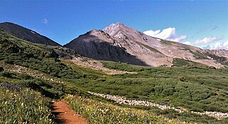
Mount Aetna is a 13,745-foot (4,189 m) mountain summit in Chaffee County, Colorado, United States.

<span class="mw-page-title-main">Star Peak (Colorado)</span>

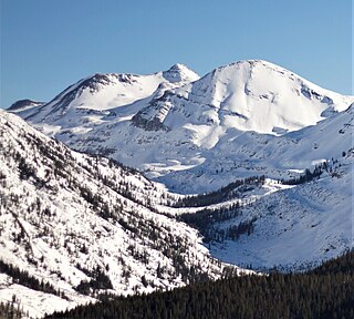
Star Peak is a 13,527-foot (4,123 m) summit on the shared border between Gunnison County and Pitkin County in Colorado, United States.

<span class="mw-page-title-main">Afley Peak</span> Mountain in the state of Colorado

Afley Peak is a mountain summit in Gunnison County, Colorado, United States.

<span class="mw-page-title-main">Purple Peak (Colorado)</span> Mountain in the state of Colorado

Purple Peak is a mountain summit in Gunnison County, Colorado, United States.

<span class="mw-page-title-main">Tenmile Peak</span> Mountain in the American state of Colorado

Tenmile Peak is a 12,938-foot (3,944 m) mountain summit in Summit County, Colorado, United States.

<span class="mw-page-title-main">Mount Jasper</span> Mountain in the state of Colorado

Mount Jasper is a 12,923-foot (3,939 m) mountain summit on the boundary shared by Boulder County and Grand County, in Colorado, United States.

<span class="mw-page-title-main">Carson Peak (Colorado)</span> Mountain in the state of Colorado

Carson Peak is a 13,662-foot-elevation (4,164-meter) summit in Hinsdale County, Colorado, United States.

<span class="mw-page-title-main">Purple Mountain (Colorado)</span> Mountain in the state of Colorado

Purple Mountain is a summit in Gunnison County, Colorado, United States.

<span class="mw-page-title-main">Keefe Peak</span> Mountain in the state of Colorado

Keefe Peak is a 13,532-foot (4,125 m) mountain summit in Pitkin County, Colorado, United States.

<span class="mw-page-title-main">Taylor Peak (Gunnison County, Colorado)</span> Mountain in the state of Colorado

Taylor Peak is a 13,435-foot (4,095 m) summit on the boundary shared by Gunnison County and Pitkin County in Colorado, United States.

<span class="mw-page-title-main">Crystal Peak (Gunnison County, Colorado)</span>

Crystal Peak is a 12,777-foot (3,894 m) mountain summit in Gunnison County, Colorado, United States.

<span class="mw-page-title-main">Turner Peak</span> Mountain in the state of Colorado

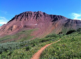
Turner Peak is a 13,233-foot-elevation (4,033-meter) mountain summit in Chaffee County, Colorado, United States.

<span class="mw-page-title-main">Jones Mountain (Chaffee County, Colorado)</span> Mountain in the state of Colorado

Jones Mountain is a 13,218-foot-elevation (4,029-meter) mountain summit in Chaffee County, Colorado, United States.

<span class="mw-page-title-main">Emma Burr Mountain</span> Mountain in the state of Colorado

Emma Burr Mountain is a 13,544-foot-elevation (4,128-meter) mountain summit on the common border shared by Chaffee and Gunnison counties in Colorado, United States.

<span class="mw-page-title-main">Pearl Mountain</span> Mountain in the state of Colorado

Pearl Mountain is a 13,379-foot (4,078 m) summit on the shared border between Gunnison County and Pitkin County in Colorado, United States.

<span class="mw-page-title-main">Grizzly Peak (Dolores/San Juan Counties, Colorado)</span> Mountain in the state of Colorado

Grizzly Peak is a 13,738-foot-elevation (4,187-meter) mountain summit on the boundary shared by Dolores County and San Juan County, in Colorado, United States.

<span class="mw-page-title-main">Sleeping Sexton</span> Mountain ridge in Colorado, United States

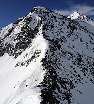
Sleeping Sexton is a 13,457-foot (4,102 m) mountain ridge in Pitkin County, Colorado, United States.

<span class="mw-page-title-main">Whitecross Mountain</span> Mountain in the American state of Colorado

Whitecross Mountain is a 13,553-foot-elevation (4,131-meter) summit in Hinsdale County, Colorado, United States.

<span class="mw-page-title-main">Wood Mountain (Colorado)</span> Mountain in the state of Colorado

Wood Mountain is a 13,682-foot-elevation (4,170 meter) summit located on the boundary shared by Hinsdale County with San Juan County, in Colorado, United States.

<span class="mw-page-title-main">Ervin Peak</span>

Ervin Peak is a 13,538-foot (4,126 m) mountain summit in Chaffee County, Colorado, United States.

References

  1. 1 2 3 4 5 6 "Grizzly Peak - 13,309' CO". listsofjohn.com. Retrieved June 4, 2023.
  2. 1 2 "Grizzly Peak". Geographic Names Information System . United States Geological Survey, United States Department of the Interior . Retrieved June 4, 2023.
  3. 1 2 "Grizzly Peak, Colorado". Peakbagger.com. Retrieved June 4, 2023.
  4. American Discovery Trail, Colorado discoverytrail.org Retrieved June 4, 2023
  5. Peel, M. C.; Finlayson, B. L.; McMahon, T. A. (2007). "Updated world map of the Köppen−Geiger climate classification". Hydrol. Earth Syst. Sci. 11 (5): 1633. Bibcode:2007HESS...11.1633P. doi: 10.5194/hess-11-1633-2007 . ISSN   1027-5606. S2CID   9654551.