
Sharkstooth Peak is a 12,468-foot-elevation (3,800-meter) mountain summit in Montezuma County, Colorado.

Bannock Peak is a 10,329-foot (3,148-metre) mountain summit in the southern section of the Gallatin Range in Yellowstone National Park, in the U.S. state of Wyoming. The peak ranks as the sixth-highest peak in the Gallatin Range. Precipitation runoff from the mountain drains west into headwaters of the Gallatin River and east into Panther Creek which is a tributary of the Gardner River. Topographic relief is significant as the summit rises nearly 2,000 feet above Panther Creek in one mile (1.6 km). This mountain's toponym was officially adopted in 1897 by the United States Board on Geographic Names.

Mount White is a 13,667-foot (4,166 m) mountain summit in Chaffee County, Colorado, United States.

Horn Peak is a 13,450-foot (4,100 m) mountain summit in Custer County, Colorado, United States.
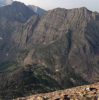
Broken Hand Peak is a 13,573-foot (4,137 m) mountain summit on the boundary shared by Custer and Saguache counties, in Colorado, United States.
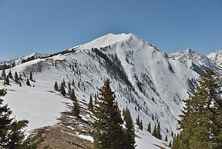
Highland Peak is a 12,381-foot (3,774 m) mountain summit in Pitkin County, Colorado, United States.

Hilliard Peak is a 13,422-foot (4,091 m) mountain summit in Pitkin County, Colorado, United States.
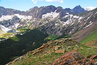
Milwaukee Peak is a 13,522-foot (4,122 m) mountain summit in Saguache County, Colorado, United States.
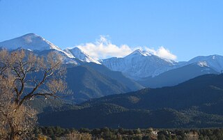
Cottonwood Peak is a 13,588-foot (4,142 m) mountain summit on the boundary shared by Custer and Saguache counties, in Colorado, United States.
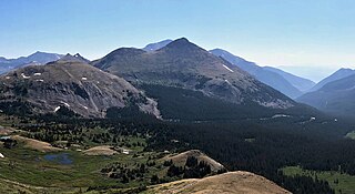
Turner Peak is a 13,233-foot-elevation (4,033-meter) mountain summit in Chaffee County, Colorado, United States.

Emma Burr Mountain is a 13,544-foot-elevation (4,128-meter) mountain summit on the common border shared by Chaffee and Gunnison counties in Colorado, United States.

Grizzly Peak is a 13,309-foot-elevation (4,057-meter) mountain summit in Gunnison County, Colorado, United States.

Grizzly Peak is a 13,738-foot-elevation (4,187-meter) mountain summit on the boundary shared by Dolores County and San Juan County, in Colorado, United States.

Little Giant Peak is a 13,417-foot-elevation (4,090-meter) mountain summit in San Juan County, Colorado, United States.

Rinker Peak is a 13,789-foot (4,203 m) mountain summit in Chaffee County, Colorado, United States.

Twin Peaks is a 13,341-foot (4,066 m) mountain summit in Chaffee County, Colorado, United States.
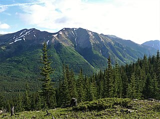
Ervin Peak is a 13,538-foot (4,126 m) mountain summit in Chaffee County, Colorado, United States.
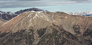
Quail Mountain is a 13,465-foot (4,104 m) mountain summit in Chaffee County, Colorado, United States.
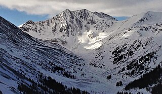
Sayres Benchmark is a 13,746-foot-elevation (4,190-meter) mountain summit in Chaffee County, Colorado, United States.
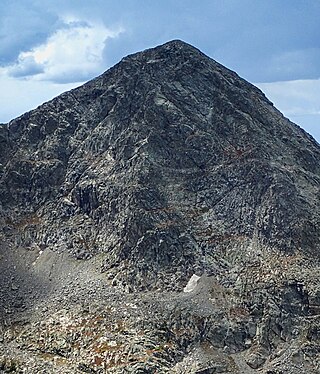
Fools Peak is a 12,954-foot-elevation (3,948-meter) summit in Eagle County, Colorado, United States.


