Kangti | |
|---|---|
Village | |
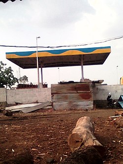 Bharat Petrol Pump Kangti | |
 Kangti Location in Telangana, India  Kangti Kangti (India) | |
| Coordinates: 18°13′00″N77°38′00″E / 18.2167°N 77.6333°E | |
| Country | |
| State | Telangana |
| District | Sangareddy district |
| Government | |
| • Type | Grama Panchayat |
| • Body | Gram Panchayat of Kangti |
| Area | |
• Total | 10 km2 (4 sq mi) |
| Elevation | 493 m (1,617 ft) |
| Population (2011 [1] ) | |
• Total | 4,207 [2] |
| Demonym | Kangtikar |
| Languages | |
| • Official | Telugu |
| Time zone | UTC+5:30 (IST) |
| PIN CODE | 502286 |
| Vehicle registration | TS-23 |
| Assembly constituency | Narayankhed |
| Lok Sabha constituency | Zahirabad |
| Website | telangana |
Kangti is a Town and Mandal headquarters of Kangti Mandal in the Sangareddy district in Indian state of Telangana. [3]