This article needs additional citations for verification .(November 2018) |
Kumbanad | |
|---|---|
town | |
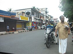 Kumbanad Junction | |
 Kumbanad Location in Kerala, India  Kumbanad Kumbanad (India) | |
| Coordinates: 9°21′07″N76°39′40″E / 9.352°N 76.661°E | |
| Country | |
| State | Kerala |
| District | Pathanamthitta |
| Taluk | Tiruvalla |
| Time zone | UTC+5:30 (IST) |
| PIN | 689547 |
| Telephone code | 469 |
| Vehicle registration | KL-27 THIRUVALLA |
| Nearest city | Tiruvalla |
| Lok Sabha constituency | Pathanamthitta |
| Climate | Tropical (Köppen) |
Kumbanad is a small Town in Thiruvalla Sub-District. It is part of Thiruvalla Taluk & Thiruvalla Revenue Division of Pathanamthitta district in the State of Kerala. It is an important town situated on T.K. Road, equidistant from Eraviperoor and Pullad; which are at a distance of 3 km.
