
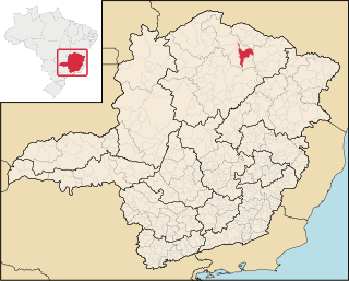
Araçaí is a Brazilian municipality located in the northeast of the state of Minas Gerais. Its population as of 2020 was 2,354 people living in a total area of 185 km². The city belongs to the meso-region of Metropolitana de Belo Horizonte and to the micro-region of Sete Lagoas. It became a municipality in year of 1962.

Caranaíba is a Brazilian municipality located in the state of Minas Gerais. Its population as of 2020 was 3,166 people living in an area of 160km². The elevation varies between 700 meters and 1,231 meters. The city belongs to the mesoregion of Campo das Vertentes and to the microregion of Barbacena. The municipal seat lies at an elevation of 822 meters in a valley in the Serra do Espinhaço.

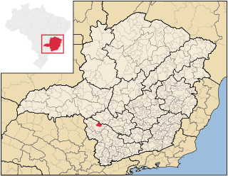
Desterro do Melo is a Brazilian municipality located in the south of the state of Minas Gerais.

Juramento is a municipality in the north of the Brazilian state of Minas Gerais. As of 2020 the population was 4,345 in a total area of 432 km2. It became a municipality in 1953.
Porteirinha is a municipality in the northern region of Minas Gerais, Brazil. The population in 2020 was 37,864 in an area of 1,806 km². The elevation is 566 meters. It became a municipality in 1938. The postal code (CEP) is 39520-000.

Glacilândia is a Brazilian municipality located in the north of the state of Minas Gerais. In 2020 the population was 3,164 in a total area of 145 km2. It became a municipality in 1996.

Ibiracatu is a Brazilian municipality located in the north of the state of Minas Gerais. In 2020 the population was 5,369 in a total area of 359 km2. It became a municipality in 1995.

Verdelândia is a municipality in the north of the Brazilian state of Minas Gerais. As of 2020 the population was 9,443 in a total area of 1,452 km². It became a municipality in 1997.
Santa Vitória is a municipality in the west of the Brazilian state of Minas Gerais. As of 2020, the population was estimated at 19,872. It became a municipality in 1948.
Guimarânia is a Brazilian municipality located in the northwest of the state of Minas Gerais. Its population as of 2020 was 8,105 people living in a total area of 371 km². The city belongs to the mesoregion of Triângulo Mineiro e Alto Paranaiba and to the microregion of Patos de Minas. It became a municipality in 1963.
Pedrinópolis is a Brazilian municipality located in the west of the state of Minas Gerais. Its population as of 2020 was 3,643 people living in a total area of 357 km². The city belongs to the meso-region of Triângulo Mineiro and Alto Paranaíba and to the micro-region of Araxá. It became a municipality in 1962.

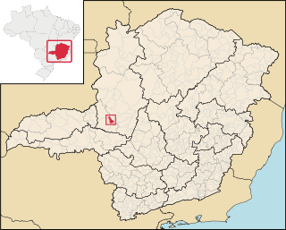
São Roque de Minas is a Brazilian municipality located in the west of the state of Minas Gerais. Its population as of 2020 was 7,076 people living in a total area of 2,100 km2. The city belongs to the meso-region of Oeste de Minas and to the micro-region of Piumhi. It became a municipality in 1938.

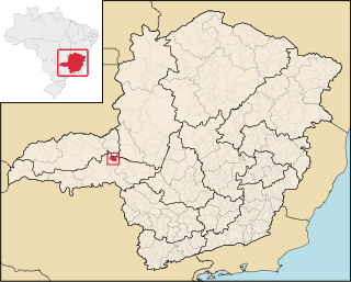
Doresópolis is a Brazilian municipality located in the west of the state of Minas Gerais. Its population as of 2020 was 1,533 people living in a total area of 153 km2. The city belongs to the meso-region of Oeste de Minas and to the micro-region of Piumhi. It became a municipality in 1962.

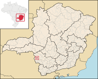
Vargem Bonita is a Brazilian municipality located in the west of the state of Minas Gerais. Its population as of 2020 was 2,148 people living in a total area of 409 km². The city belongs to the meso-region of Oeste de Minas and to the micro-region of Piumhi. It became a municipality in 1953.

Pimenta is a Brazilian municipality located in the center of the state of Minas Gerais. Its population as of 2020 was 8,688 people living in a total area of 415 km². The city belongs to the meso-region of Oeste de Minas and to the micro-region of Formiga. It became a municipality in 1948.

Itaú de Minas is a Brazilian municipality located in the center of the state of Minas Gerais. Its population as of 2020 was 16,199 people living in a total area of 154 km2. The city belongs to the meso-region of Sul e Sudoeste de Minas and to the micro-region of Passos. It became a municipality in 1987.
Pratápolis is a Brazilian municipality located in the southwest of the state of Minas Gerais. Its population as of 2020 was 8,566 people living in a total area of 214 km². The city belongs to the meso-region of Sul e Sudoeste de Minas and to the micro-region of Passos. It became a municipality in 1943.
São João Batista do Glória is a Brazilian municipality located in the southwest of the state of Minas Gerais. Its population as of 2020 was 7,498 people living in a total area of 553 km2. The city belongs to the meso-region of Sul e Sudoeste de Minas and to the micro-region of Passos. It became a municipality in 1948.

São José da Barra is a Brazilian municipality located in the southwest of the state of Minas Gerais. Its population as of 2020 was 7,480 people living in a total area of 312 km2. The city belongs to the meso-region of Sul e Sudoeste de Minas and to the micro-region of Passos. It became a municipality in 1948. The important hydroelectric plant of Furnas is located here.

Guaranésia is a Brazilian municipality located in the southwest of the state of Minas Gerais. Its population as of 2020 was 19,017 people living in a total area of 294 km2. The city belongs to the meso-region of Sul e Sudoeste de Minas and to the micro-region of São Sebastião do Paraíso. It became a municipality in 1901. The municipality is an important producer of coffee.

