
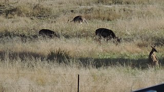
Karara is a rural town and locality in the Southern Downs Region, Queensland, Australia. In the 2016 census, the locality of Karara had a population of 123 people.

Macalister is a rural town and locality in the Western Downs Region, Queensland, Australia. In the 2016 census, the locality of Macalister had a population of 153.

Allan is a rural locality in the Southern Downs Region, Queensland, Australia. It was formerly known as Sandy Creek. In the 2021 census, Allan had a population of 91 people.
Lyra is a rural locality in the Southern Downs Region, Queensland, Australia. In the 2016 census, Lyra had a population of 53 people.

Toolburra is a rural locality in the Southern Downs Region, Queensland, Australia. In the 2016 census Toolburra had a population of 42 people.
Bony Mountain is a rural locality in the Southern Downs Region, Queensland, Australia. In the 2021 census, Bony Mountain had a population of 91 people.
Cottonvale is a rural locality in the Southern Downs Region, Queensland, Australia. It borders New South Wales and contains the town of Cotton Vale. In the 2021 census, Cottonvale had a population of 153 people.

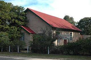
Thane is a rural town and locality in the Southern Downs Region, Queensland, Australia. In the 2016 census, Thane had a population of 27 people.

Umbiram is a rural locality in the Toowoomba Region, Queensland, Australia. In the 2021 census, Umbiram had a population of 146 people.
Bukali is a rural locality in the North Burnett Region, Queensland, Australia. In the 2021 census, Bukali had a population of 57 people.

Fleurbaix is a locality in the Southern Downs Region, Queensland, Australia. In the 2021 census, Fleurbaix had a population of 56 people.

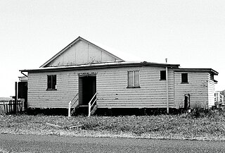
Massie is a rural locality in the Southern Downs Region, Queensland, Australia. In the 2021 census, Massie had a population of 113 people.
Victoria Hill is a rural locality spit between the Southern Downs Region and the Toowoomba Region, both in Queensland, Australia. In the 2021 census, Victoria Hill had a population of 48 people.

Nandi is a rural locality in the Western Downs Region, Queensland, Australia. In the 2021 census, Nandi had a population of 105 people.
Montrose is a rural locality in the Southern Downs Region, Queensland, Australia. In the 2021 census, Montrose had a population of 0 people.

Silverwood is a rural locality in the Southern Downs Region, Queensland, Australia. In the 2021 census, Silverwood had a population of 58 people.
Palgrave is a rural locality in the Southern Downs Region, Queensland, Australia. In the 2021 census, Palgrave had a population of 35 people.
Rodgers Creek is a rural locality in the Southern Downs Region, Queensland, Australia. In the 2021 census, Rodgers Creek had a population of 15 people.
Kings Creek is a rural locality in the Toowoomba Region, Queensland, Australia. In the 2021 census, Kings Creek had a population of 55 people.
Narko is a rural locality in the Toowoomba Region, Queensland, Australia. In the 2021 census, Narko had a population of 16 people.
