
Stanthorpe is a rural town and locality in the Southern Downs Region, Queensland, Australia. In the 2021 census, the locality of Stanthorpe had a population of 5,286 people.

Thulimbah is a rural town and locality in the Southern Downs Region, Queensland, Australia. In the 2021 census, the locality of Thulimbah had a population of 351 people. It borders New South Wales.

Applethorpe is a rural town and locality in the Southern Downs Region, Queensland, Australia. It is on Queensland's border with New South Wales. It is well known for the production of apples. It often records the lowest temperatures in Queensland.

Amiens is a rural locality in the Southern Downs Region, Queensland, Australia. In the 2021 census, Amiens had a population of 343 people.

The Summit is a rural town and locality in the Southern Downs Region, Queensland, Australia. In the 2021 census, the locality of The Summit had a population of 436 people.
Eukey is a rural locality in the Southern Downs Region, Queensland, Australia. It is on the border with New South Wales. In the 2021 census, Eukey had a population of 140 people.

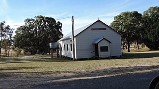
Severnlea is a semi-rural locality in the Southern Downs Region, Queensland, Australia. In the 2021 census, Severnlea had a population of 382 people.
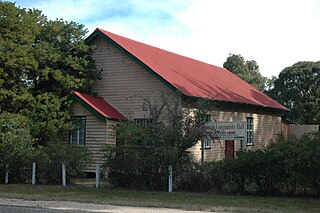
Glen Aplin is a rural locality in the Southern Downs Region, Queensland, Australia. In the 2021 census, Glen Aplin had a population of 566 people.

Greenlands is a rural locality in the Southern Downs Region, Queensland, Australia. In the 2021 census, Greenlands had a population of 244 people.
Bapaume is a rural locality in the Southern Downs Region, Queensland, Australia. In the 2021 census, Bapaume had a population of 123 people.
Cottonvale is a rural locality in the Southern Downs Region, Queensland, Australia. It borders New South Wales and contains the town of Cotton Vale. In the 2021 census, Cottonvale had a population of 153 people.
Dalcouth is a locality in the Southern Downs Region, Queensland, Australia. It is on the border with New South Wales. In the 2021 census, Dalcouth had a population of 220 people.

Thorndale is a rural locality in the Southern Downs Region, Queensland, Australia. In the 2021 census, Thorndale had a population of 134 people.

Wyberba is a rural locality in the Southern Downs Region, Queensland, Australia. In the 2021 census, Wyberba had a population of 63 people.
Fletcher is a rural locality in the Southern Downs Region, Queensland, Australia. In the 2021 census, Fletcher had a population of 128 people.

Storm King is a rural locality in the Southern Downs Region, Queensland, Australia. In the 2021 census, Storm King had a population of 106 people.

Fleurbaix is a locality in the Southern Downs Region, Queensland, Australia. In the 2021 census, Fleurbaix had a population of 56 people.

Girraween is an undeveloped locality in the Southern Downs Region, Queensland, Australia. It is in the Granite Belt and on the border with New South Wales. In the 2021 census, Girraween had a population of 5 people.

Silverwood is a rural locality in the Southern Downs Region, Queensland, Australia. In the 2021 census, Silverwood had a population of 58 people.
Passchendaele is a rural locality in the Southern Downs Region, Queensland, Australia. In the 2021 census, Passchendaele had a population of 42 people.

