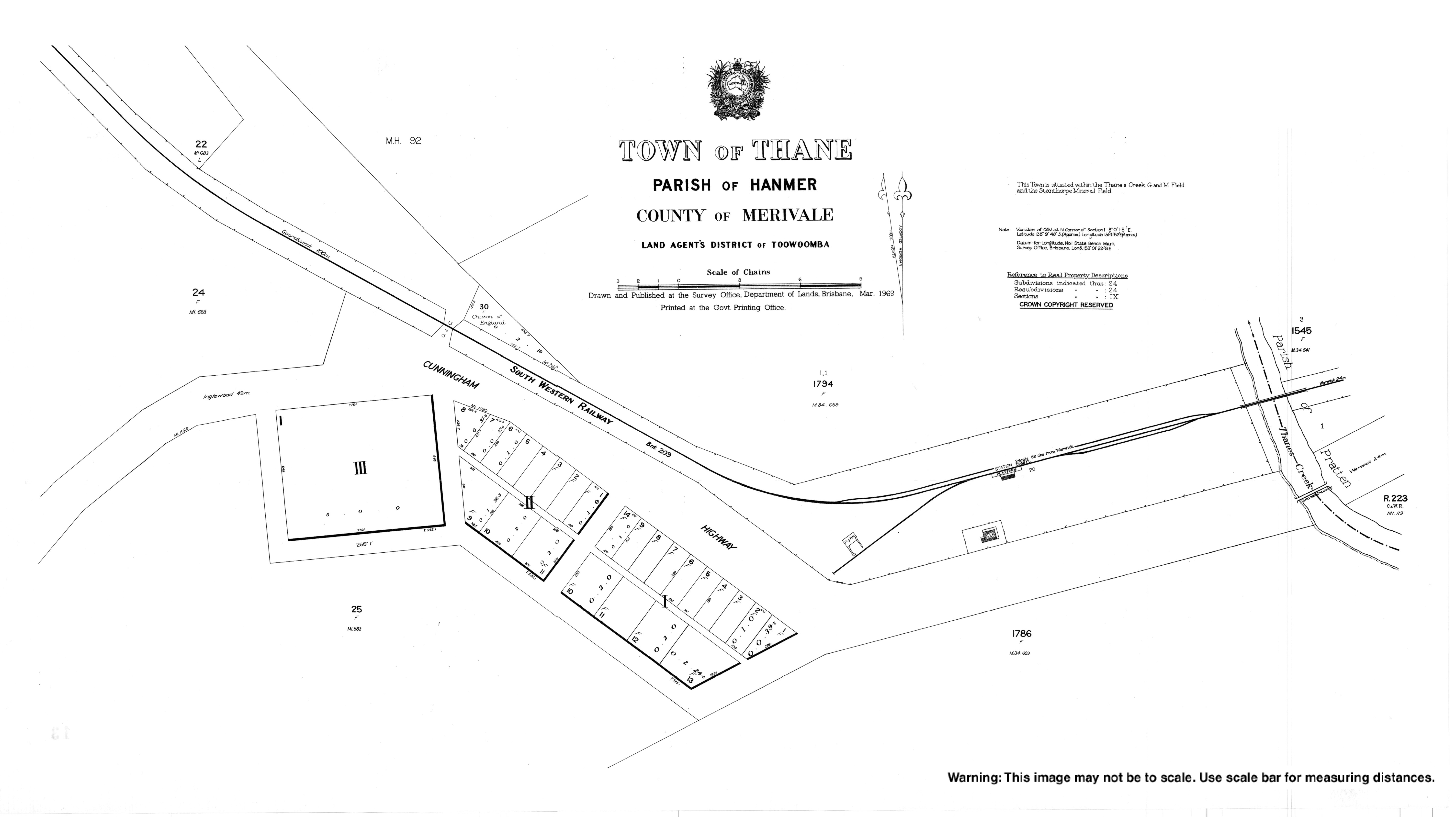
Thane, Queensland

Last updated

Map all coordinates using: OpenStreetMap  
Download coordinates as: KML  ·  GPX
Thane
Queensland
Carriers Arms Hotel at Thane, 1907.jpg
Carriers Arms Hotel at Thane, 1907
Australia Queensland location map.svg
Red pog.svg
Thane
Coordinates 28°09′41″S151°41′51″E / 28.1613°S 151.6975°E / -28.1613; 151.6975 (Thane (town centre))
Population27 (2016 census) [1]
 • Density0.709/km2 (1.84/sq mi)
Postcode(s) 4370
Area38.1 km2 (14.7 sq mi)
Time zone AEST (UTC+10:00)
Location
LGA(s) Southern Downs Region
State electorate(s) Southern Downs
Federal Division(s) Maranoa
Localities around Thane:
Thanes Creek Thanes Creek Pratten
Thanes Creek Thane Montrose
Karara Greymare Greymare

Thane is a rural town and locality in the Southern Downs Region, Queensland, Australia. [2] [3] In the 2016 census, Thane had a population of 27 people. [1]

Contents

Geography

The Cunningham Highway traverses the locality from the south-east (Greymare) to south-west (Karara) passing through the town of Thane which is roughly central within the locality. The South Western railway line also traverses through the locality slightly to the north of the highway from Greymare to the town of Thane and then goes further north than the highway towards Karara before it exits slightly to the north of the highway. [4] The town is served by the Thane railway station ( 28°09′42″S151°42′07″E / 28.1617°S 151.7019°E / -28.1617; 151.7019 (Thane railway station) ). [5]

Thanes Creek (the watercourse) enters the locality from the south-west (Karara) and exits to the north-west (the locality of Thanes Creek). [4]

The predominant land use is grazing on native vegetation. There is some cropping along Thanes Creek (the watercourse) to the north of the town. [4]

History

The town takes its name from the railway station named on 5 February 1904 after John Thane, a pioneer pastoralist of Ellangowan Run, who drowned in the Condamine River in about 1843. [2] [5]

Thane Provisional School opened on 27 March 1905. On 1 January 1909 it became Thane State School. It closed on 2 May 1925. [6] It was located between Thanes Creek Road and the Cunningham Highway ( 28°09′39″S151°41′43″E / 28.1608°S 151.6954°E / -28.1608; 151.6954 (Thane State School (former)) ). [7]

On 27 July 1905 the Queensland Government offered 22 town lots near the Thane railway station, then the terminus of the South Western railway line, ranging in size from 1 to 4 roods (1,000 to 4,000 m2). [8] However, there were only five buyers. [9]

St John's Anglican Church opened circa 1909 and closed circa 1968. It was at 230 Thanes Creek Road ( 28°09′35″S151°41′48″E / 28.1598°S 151.6967°E / -28.1598; 151.6967 (St John's Anglican Church (former)) ). [10] The church was relocated to the Mile End Park, 177 Pratten Street in west Warwick. [11] [12]

On 26 September 1911 the Queensland Government tried to sell more of the town lots. [13]

In the 2016 census, Thane had a population of 27 people. [1]

Education

There are no schools in Thane. The nearest primary schools are Karara State School in neighbouring Karara to the south-west and Wheatvale State School in Wheatvale to the east. The nearest secondary schools are Allora State School (to Year 10 only) to Allora to the north-east and Warwick State High School (to Year 12) in Warwick to the south-east. [4]

Related Research Articles

Warwick, Queensland Town in Queensland, Australia

Warwick is a town and locality in southeast Queensland, Australia, lying 130 kilometres (81 mi) south-west of Brisbane. It is the administrative centre of the Southern Downs Region local government area. The surrounding Darling Downs have fostered a strong agricultural industry for which Warwick, together with the larger city of Toowoomba, serve as convenient service centres. The town had an urban population of 15,380 as at June 2018, having declined slightly at an average annual rate of -0.15% year-on-year over the preceding five years.

Clifton, Queensland Town in Queensland, Australia

Clifton is a rural town and locality in the Toowoomba Region, Queensland, Australia. In the 2016 census, Clifton had a population of 1,456 people.

Gowrie Junction, Queensland Suburb of Toowoomba Region, Queensland, Australia

Gowrie Junction is a rural locality in the Toowoomba Region, Queensland, Australia. It is north-west of Toowoomba. In the 2016 census, Gowrie Junction had a population of 2,120 people. The town of Gowrie is in the eastern part of the locality.

Allora, Queensland Town in Queensland, Australia

Allora is a rural town and locality in the Southern Downs Region, Queensland, Australia. In the 2016 census, Allora had a population of 1,223 people.

Southern Downs Region Local government area in Queensland, Australia

The Southern Downs Region is a local government area in the Darling Downs region of Queensland, Australia, along the state's boundary with New South Wales. It was created in 2008 from a merger of the Shire of Warwick and the Shire of Stanthorpe.

Leyburn, Queensland Town in Queensland, Australia

Leyburn is a rural town in the Southern Downs Region and a locality split between the South Downs Region and the Toowoomba Region in Queensland, Australia. In the 2016 census, Leyburn had a population of 476 people.

Shire of Rosenthal Local government area in Queensland, Australia

The Shire of Rosenthal was a local government area south and west of the regional centre of Warwick in the Darling Downs region of Queensland. The shire, administered from Rosenthal Heights, a Warwick suburb, covered an area of 1,984.1 square kilometres (766.1 sq mi), and existed as a local government entity from 1886 until 1994, when it was dissolved and amalgamated with City of Warwick, Shire of Allora and Shire of Glengallan to form the Shire of Warwick.

Karara, Queensland Town in Queensland, Australia

Karara is a town and locality in the Darling Downs region within the Queensland, Australia. It is in the Southern Downs Region local government area. In the 2016 census, Karara had a population of 123 people.

Applethorpe, Queensland Town in Queensland, Australia

Applethorpe is a rural town and locality in the Southern Downs Region, Queensland, Australia. It is on the border with New South Wales. In the 2016 census, Applethorpe had a population of 511 people. Applethorpe is well known for the production of apples.

Ballandean, Queensland Town in Queensland, Australia

Ballandean is a small town and locality in the Granite Belt Region of the Southern Downs, Queensland, Australia. It is on the Queensland border with New South Wales. At the 2016 census the town recorded a population of 338. The town has a number of nearby vineyards which attracted tourists to the area.

Dalveen, Queensland Town in Queensland, Australia

Dalveen is a town and a locality in the Southern Downs Region, Queensland, Australia. It borders New South Wales. In the 2016 census, Dalveen had a population of 335 people.

Swan Creek, Queensland Suburb of Southern Downs Region, Queensland, Australia

Swan Creek is a rural locality in the Southern Downs Region, Queensland, Australia. In the 2016 census, Swan Creek had a population of 139 people.

Yangan, Queensland Town in Queensland, Australia

Yangan is a rural town and locality in the Southern Downs Region, Queensland, Australia. In the 2016 census, Yangan had a population of 386 people.

Allan, Queensland Suburb of Southern Downs Region, Queensland, Australia

Allan is a rural locality in the Southern Downs Region, Queensland, Australia. It was formerly known as Sandy Creek. In the 2016 census, Allan had a population of 87 people.

Coolmunda, Queensland Suburb of Goondiwindi Region, Queensland, Australia

Coolmunda is a rural locality in the Goondiwindi Region, Queensland, Australia. In the 2016 census, Coolmunda had a population of 141 people.

Gore, Queensland Town in Queensland, Australia

Gore is a rural town and locality in the Goondiwindi Region, Queensland, Australia. In the 2016 census, the locality of Gore had a population of 36 people.

Brookstead, Queensland Town in Queensland, Australia

Brookstead is a rural town and locality in the Toowoomba Region, Queensland, Australia. In the 2016 census, Brookstead had a population of 217 people.

Wheatvale, Queensland Suburb of Southern Downs Region, Queensland, Australia

Wheatvale is a locality in the Southern Downs Region, Queensland, Australia.

Goomburra, Queensland Town in Queensland, Australia

Goomburra is a town and a locality in the Southern Downs Region, Queensland, Australia.

Victoria Hill, Queensland Suburb of Southern Downs Region, Queensland, Australia

Victoria Hill is a locality spit between the Southern Downs Region and the Toowoomba Region, both in Queensland, Australia. In the 2016 census, Victoria Hill had a population of 30 people.

References

  1. 1 2 3 Australian Bureau of Statistics (27 June 2017). "Thane (SSC)". 2016 Census QuickStats. Retrieved 20 October 2018. OOjs UI icon edit-ltr-progressive.svg
  2. 1 2 "Thane - town in Southern Downs Region (entry 33805)". Queensland Place Names. Queensland Government . Retrieved 1 September 2020.
  3. "Thane - locality in Southern Downs Region (entry 45986)". Queensland Place Names. Queensland Government . Retrieved 1 September 2020.
  4. 1 2 3 4 "Queensland Globe". State of Queensland . Retrieved 6 September 2020.
  5. 1 2 "Thane - railway station in Southern Downs Region (entry 33806)". Queensland Place Names. Queensland Government . Retrieved 6 September 2020.
  6. Queensland Family History Society (2010), Queensland schools past and present (Version 1.01 ed.), Queensland Family History Society, ISBN   978-1-921171-26-0
  7. "County of Merivale" (Map). Queensland Government. 1923. Archived from the original on 6 September 2020. Retrieved 6 September 2020.
  8. "CROWN LAND SALES". Warwick Examiner And Times . 39 (4953). Queensland, Australia. 24 June 1905. p. 8. Retrieved 6 September 2020 via National Library of Australia.
  9. "Land Matters". Warwick Examiner And Times . 39 (4963). Queensland, Australia. 29 July 1905. p. 2. Retrieved 6 September 2020 via National Library of Australia.
  10. "Town of Thane" (Map). Queensland Government. 1969. Archived from the original on 6 September 2020. Retrieved 6 September 2020.
  11. "Closed Churches". Anglican Church of Southern Queensland. Archived from the original on 3 April 2019. Retrieved 24 February 2019.CS1 maint: unfit url (link)
  12. "West Warwick". Anglican Parish of Warwick. Archived from the original on 6 September 2020. Retrieved 6 September 2020.
  13. "CROWN LAND SALE". Warwick Examiner And Times (4197). Queensland, Australia. 28 August 1911. p. 3. Retrieved 6 September 2020 via National Library of Australia.