Somme, Queensland

Last updated

Somme
Queensland
Landscape 2, Somme, Queensland, 2015.JPG
Somme, 2015
Australia Queensland location map.svg
Red pog.svg
Somme
Coordinates 28°46′23″S151°48′07″E / 28.7730°S 151.8019°E / -28.7730; 151.8019 (Somme (centre of locality))
Population53 (2016 census) [1]
 • Density1.797/km2 (4.65/sq mi)
Postcode(s) 4382
Area29.5 km2 (11.4 sq mi)
Time zone AEST (UTC+10:00)
LGA(s) Southern Downs Region
State electorate(s) Southern Downs
Federal division(s) Maranoa
Suburbs around Somme:
Nundubbermere Nundubbermere Glen Aplin
Nundubbermere Somme Fletcher
Ballandean Ballandean Ballandean

Somme is a rural locality in the Southern Downs Region, Queensland, Australia. [2] In the 2016 census Somme had a population of 53 people. [1]

Contents

Geography

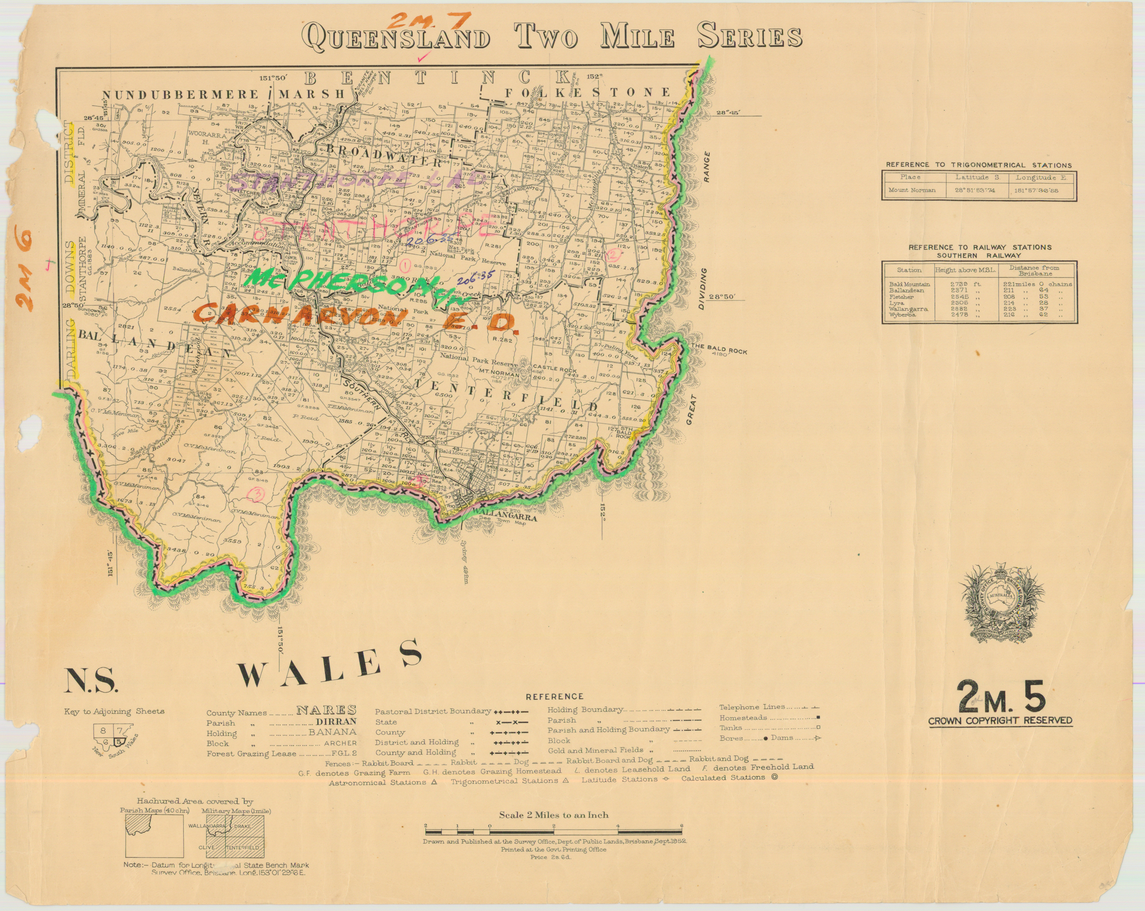
Somme is bounded by the Severn River to the east and south and the land to the south and east is mostly used for farming and residential purposes. The land in the north-western part of Somme is mostly undeveloped. [3]

History

Somme was named after the Battle of the Somme in northern France. It was one of the largest battles for the Australian Imperial Forces in World War I. [2] It is one of a number of localities in the Southern Downs Regions named after World War I battles.

Somme State School opened circa 1917. In 1924 it went from being a full-time school to being a half-time school in conjunction with Apple Vale State School in Apple Vale (meaning they shared a single teacher). Both schools closed in August 1927. [4] Somme State School was on the south-west corner of the junction of Somme Lane and an unnamed street ( 28°45′40″S151°48′44″E / 28.7612°S 151.8122°E / -28.7612; 151.8122 (Somme State School (former, 1917-1927)) ). [5] [3]

Somme State School opened on 22 February 1949 and closed in 1962. It is unclear if this was a reopening of the earlier school or a new school, a 1952 shows Somme State School as being near Somme Lane but does not pinpoint its location as precisely as the 1922 map. [4] [6] [5]

In the 2016 census Somme had a population of 53 people. [1]

Education

There are no schools in Somme. The nearest primary school is in neighbouring Ballandean and the nearest secondary school is in Stanthorpe. [7]

Related Research Articles

<span class="mw-page-title-main">Karara, Queensland</span> Town in Queensland, Australia

Karara is a rural town and locality in the Southern Downs Region, Queensland, Australia. In the 2016 census, the locality of Karara had a population of 123 people.

Moola is a rural locality in the Western Downs Region, Queensland, Australia. In the 2016 census Moola had a population of 123 people.

<span class="mw-page-title-main">Vale View, Queensland</span> Suburb of Toowoomba, Queensland, Australia

Vale View is a rural locality in the Toowoomba Region, Queensland, Australia. In the 2016 census, Vale View had a population of 472 people.

<span class="mw-page-title-main">Applethorpe, Queensland</span> Town in Queensland, Australia

Applethorpe is a rural town and locality in the Southern Downs Region, Queensland, Australia. It is on Queensland's border with New South Wales. It is well known for the production of apples. It often records the lowest temperatures in Queensland.

<span class="mw-page-title-main">Ballandean, Queensland</span> Town in Queensland, Australia

Ballandean is a rural town and locality in the Southern Downs Region, Queensland, Australia. In the 2016 census, the locality of Ballandean had a population of 338 people.

<span class="mw-page-title-main">Ascot, Queensland (Toowoomba Region)</span> Suburb of Toowoomba Region, Queensland, Australia

Ascot is a rural locality in the Toowoomba Region, Queensland, Australia. In the 2016 census, Ascot had a population of 31 people.

<span class="mw-page-title-main">Southbrook, Queensland</span> Town in Queensland, Australia

Southbrook is a rural town and locality in the Toowoomba Region, Queensland, Australia. In the 2021 census, the locality of Southbrook had a population of 626 people.

<span class="mw-page-title-main">Domville, Queensland</span> Suburb of Toowoomba Region, Queensland, Australia

Domville is a rural locality in the Toowoomba Region, Queensland, Australia. In the 2021 census, Domville had "no people or a very low population".

<span class="mw-page-title-main">Spring Creek, Queensland (Darling Downs)</span> Suburb of Toowoomba Region, Queensland, Australia

Spring Creek is a rural locality split between the Toowoomba Region and the Southern Downs Region, Queensland, Australia. In the 2016 census, Spring Creek had a population of 194 people.

Ellangowan is a rural locality in the Toowoomba Region, Queensland, Australia. In the 2021 census, Ellangowan had a population of 95 people.

Broadwater is a rural locality in the Southern Downs Region, Queensland, Australia. In the 2016 census, Broadwater had a population of 292 people.

Branchview is a rural locality in the Toowoomba Region, Queensland, Australia. In the 2016 census Branchview had a population of 17 people.

<span class="mw-page-title-main">Cottonvale, Queensland</span> Suburb of Southern Downs Region, Queensland, Australia

Cottonvale is a rural locality in the Southern Downs Region, Queensland, Australia. It borders New South Wales and contains the town of Cotton Vale. In the 2021 census, Cottonvale had a population of 153 people.

Dalcouth is a locality in the Southern Downs Region, Queensland, Australia. It is on the border with New South Wales. In the 2016 census, Dalcouth had a population of 165 people.

Darr Creek is a rural locality in the Western Downs Region, Queensland, Australia. In the 2016 census Darr Creek had a population of 18 people.

Ducklo is a locality in the Western Downs Region, Queensland, Australia. In the 2021 census, Ducklo had a population of 306 people.

Langlands is a rural locality in the Western Downs Region, Queensland, Australia. In the 2016 census, Langlands had a population of 7 people.

<span class="mw-page-title-main">Thane, Queensland</span> Town in Queensland, Australia

Thane is a rural town and locality in the Southern Downs Region, Queensland, Australia. In the 2016 census, Thane had a population of 27 people.

Jinghi is a rural locality in the Western Downs Region, Queensland, Australia. In the 2016 census, Jinghi had a population of 74 people.

Passchendaele is a rural locality in the Southern Downs Region, Queensland, Australia. In the 2016 census, Passchendaele had a population of 30 people.

References

  1. 1 2 3 Australian Bureau of Statistics (27 June 2017). "Somme (SSC)". 2016 Census QuickStats. Retrieved 20 October 2018. OOjs UI icon edit-ltr-progressive.svg
  2. 1 2 "Somme – locality in Southern Downs Region (entry 45976)". Queensland Place Names. Queensland Government . Retrieved 29 December 2020.
  3. 1 2 "Queensland Globe". State of Queensland . Retrieved 26 March 2021.
  4. 1 2 Queensland Family History Society (2010), Queensland schools past and present (Version 1.01 ed.), Queensland Family History Society, ISBN   978-1-921171-26-0
  5. 1 2 "Count of Bentinck" (Map). Queensland Government. 1922. Retrieved 26 March 2021.
  6. "Queensland Two Mile series sheet 2m5" (Map). Queensland Government. 1952. Retrieved 26 March 2021.
  7. "Queensland State and Non-State Schools". Queensland Government. Archived from the original on 8 May 2014. Retrieved 8 June 2015.

Commons-logo.svg Media related to Somme, Queensland at Wikimedia Commons